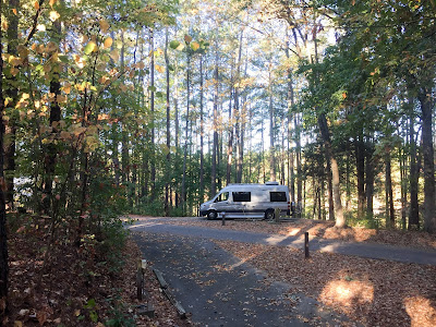
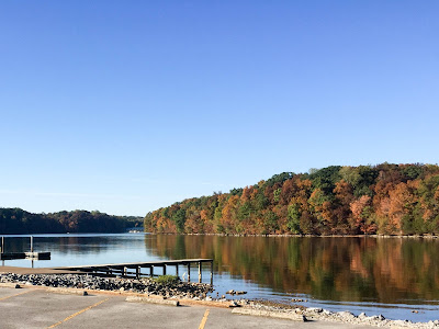
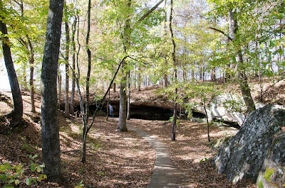
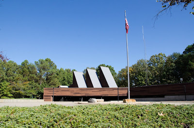
Joe Wheeler State Park
Ten-Tom Waterway
27,465 miles 67º F
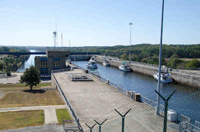 A short detour allowed us to stop at the Whitten Lock and Dam to get a boat fix. This is the northernmost lock on the Tennessee-Tombigbee Waterway that allows boats to get to the Gulf Coast east of the Mississippi. The visitors center has good info and a 3D map of the entire waterway system. The dam formed a 6,600 acre lake.
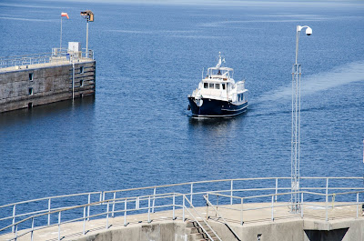
We were there for the noon southbound lock cycle. Boats are lowered 84 feet to the canal below. One sailboat and ten powerboats loaded into the lock. Lines were tied to sliding cleats that drop with the water level.
One of the lock doors wouldn’t close completely, delaying the lock cycle. This allowed a late motor yacht to join the group locking through.
Fences and concrete barriers added since 9-11 keep visitors back from the lock. We stayed until the boats, even the sailboat mast, were no longer visible.
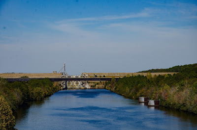
After eating lunch at the lock we drove downstream and were able to look back at the huge lock doors.
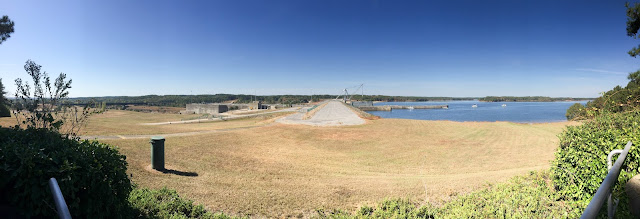
The lake and lock from the visitor overlook parking lot.
Back on the Trace
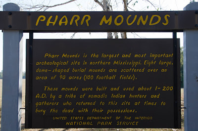
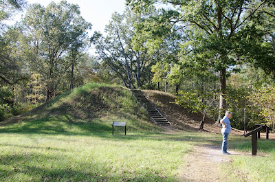
MP 286.7 has Pharr Mounds archeological site. Here’s the NPS information.
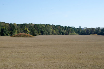
View of the mounds.
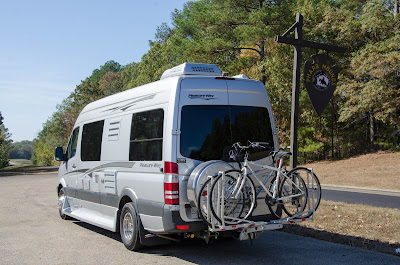
 The National Park Service marks pull-offs on the Natchez Trace with arrowhead signs like this one for Pharr Mounds.
27, 529 3:37 PM
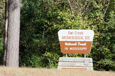
Disappointed in the information at Pharr Mounds, Beth found another site nearby. Three miles off the trace is the Owl Creek Archaeological Site. A short walking path around the mounds had informational signage that helped us understand the history along with how the sites had been researched.
