19 September 2025 – Friday
It has been a while since posting, mostly because we’ve been out exploring for the last three months. Yes, we’re fine. Thank you to those that have expressed concern. We traveled from North Carolina to Maine before heading west to Wisconsin where we are driveway camping at our son & daughter-in-law’s home near Madison. We have a backlog of adventures to write-up, but here’s a quick post to share a local State Park.
On Friday it was time to dump and fill our tanks, so we used that excuse to visit Devil’s Lake State Park. Only about an hour north of Madison, the park is just south of Baraboo. Here are a few photos to give you a feel for the park.

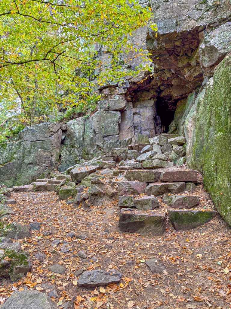
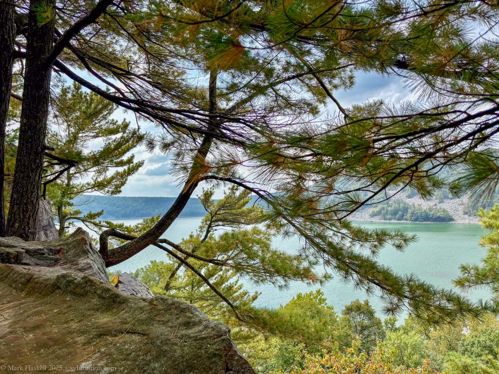
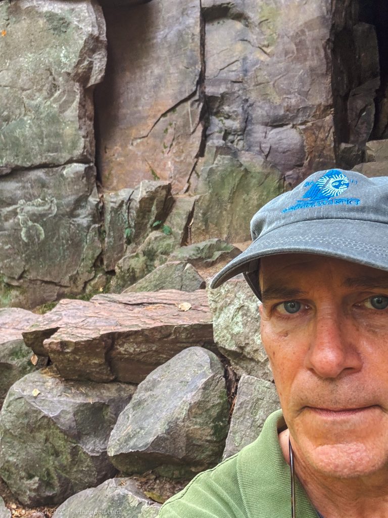
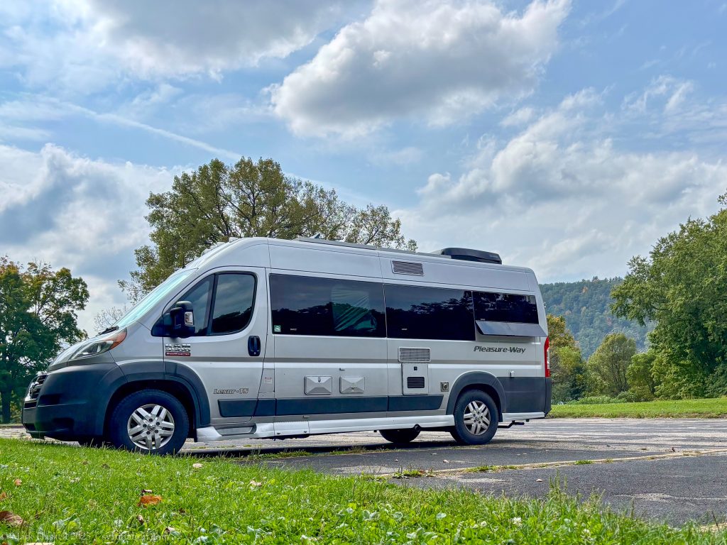
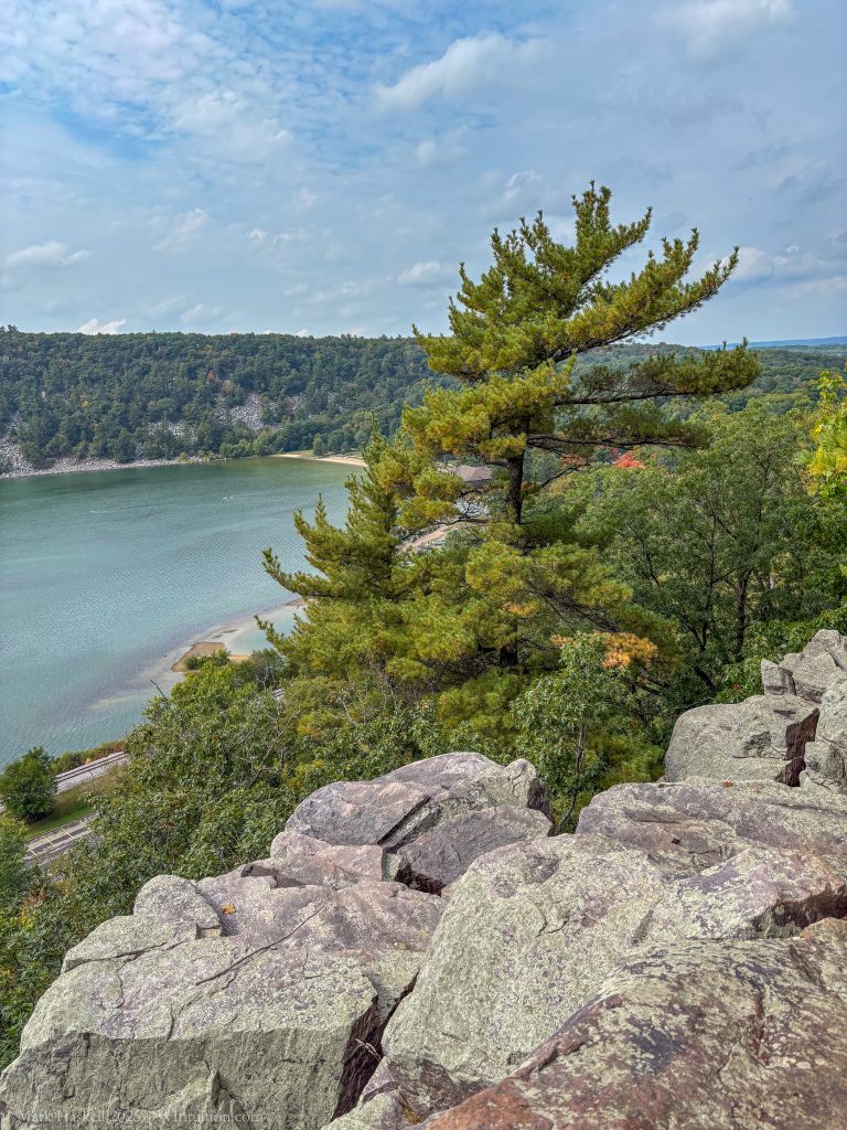
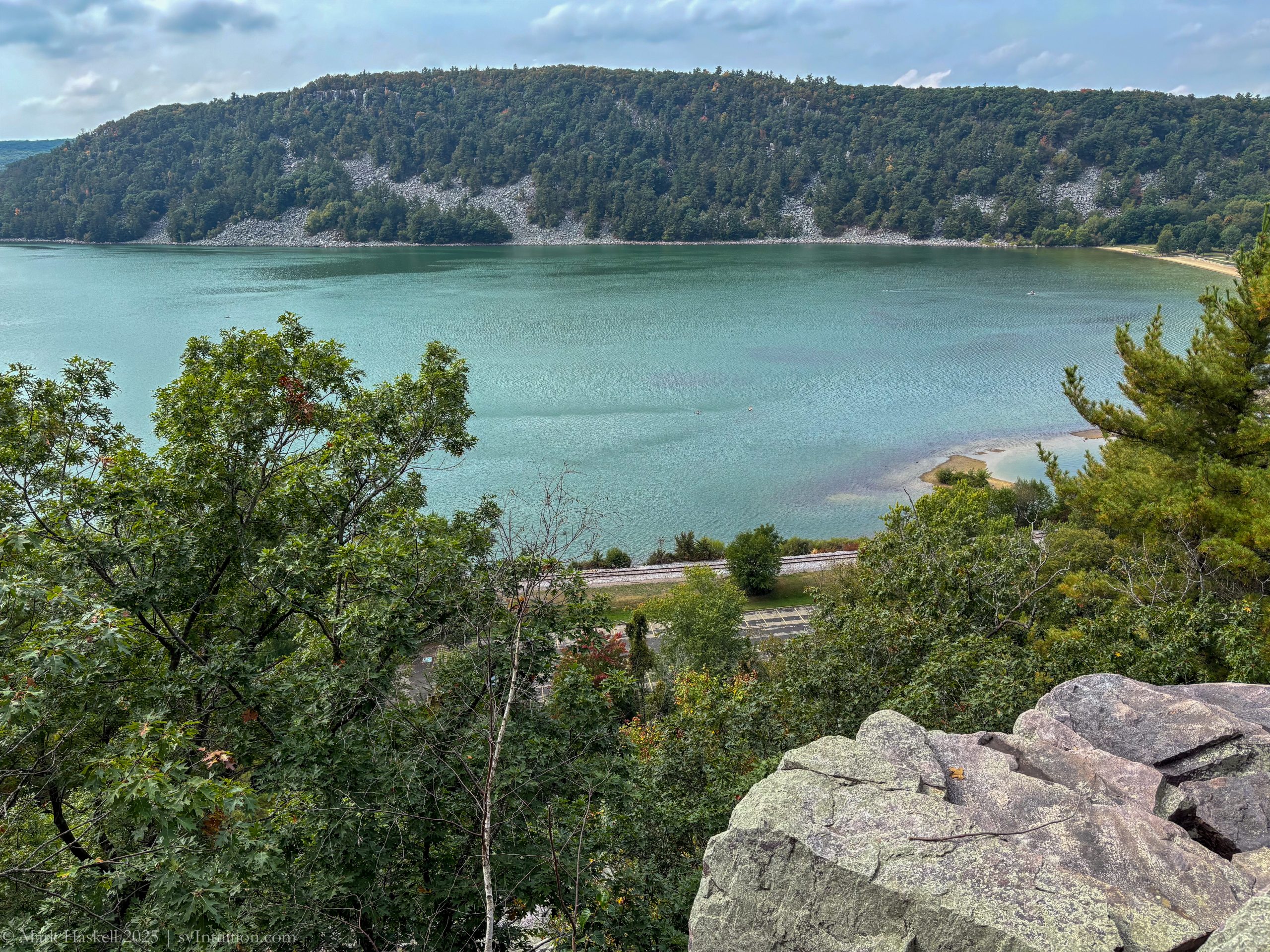
The lake is surrounded by stone bluffs. Parking in the North Shore Picnic Area lot was simple for our 21 foot van. Finding Elephant Rock on the park map, I set out on the East Bluff Trail. If you don’t mind climbing 200 feet vertically, the mile long hike is relatively easy and results in a great view.
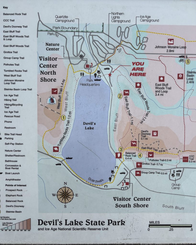
Three campgrounds in this section of the park offer easy access to the beach and hiking trails. All have nicely spaced sites, but there were no openings on a Friday night. A Wisconsin Parks Pass is required for entry. As of this month, they are $50 a year for out-of-state visitors.
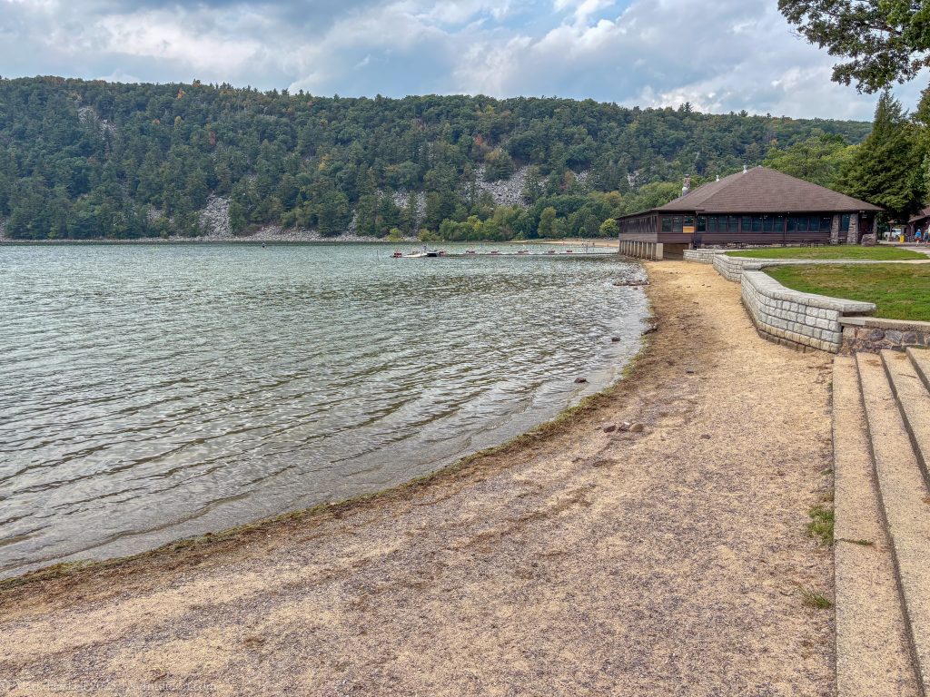
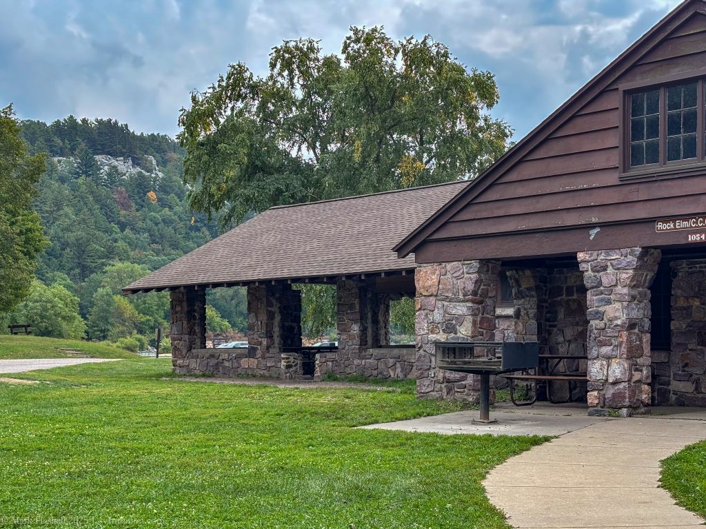
After utilizing the dump station at the Northern Lights campground we stopped to see the beach and made lunch in the van. Stone bath houses built by the CCC in the 1930’s give the park a classic feel. There’s also a more modern building with concessions and a good view right on the beach.
Examining the map, we saw another section of the park on the South Shore, so decided to head down there. It requires exiting and driving up and down the bluffs. The road down to the South Shore descends rapidly through a series of S curves that are more fun for the driver than the passenger. It was fine in our Lexor, but I wouldn’t recommend it for large RV’s or anyone towing a big trailer. I suspect it would have been just as fast to hike the trails from North to South as it was to drive around.

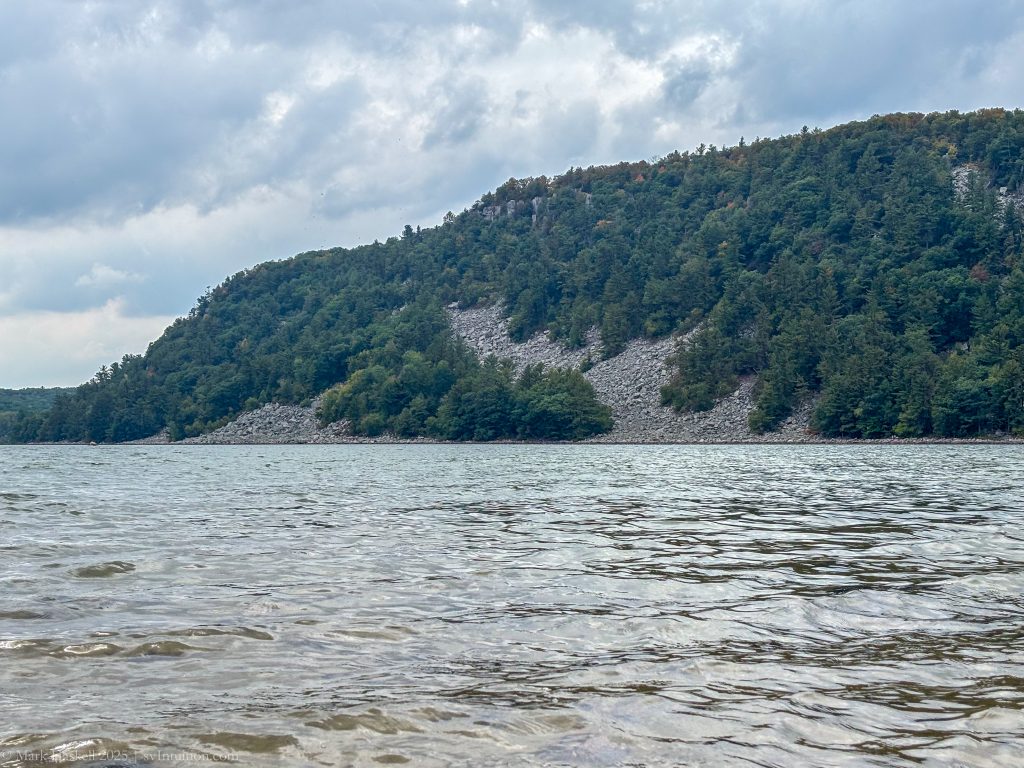
There isn’t camping at the South Shore, but there is a nice beach, picnic area, and trail access. We were curious to know more about the lake, so researched the source as spring fed and the depth at 47 feet. Thinking it might have been a quarry, we found that some of the stone had been cut from the bluffs, but the lake was naturally formed by glaciers. The rise from the lake to the top of the quartzite bluffs is five-hundred feet.
Wondering about the name, we learned that is was probably a misunderstanding in translation of the native american name which is closer to “Sacred” rather than Devil. Click through to the state park web site for more on the park’s history.
We would definitely return here, especially a little later in the fall when the leaves change color.
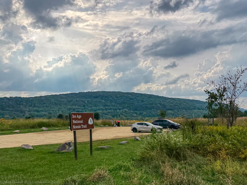
Just outside of the park we passed an access to the Ice Age National Trail . A sign post showed it was 4.1 miles from South Shore Beach and 643 miles to the western terminus.
Here’s a downloadable map of the area showing our route:
Leave a Reply