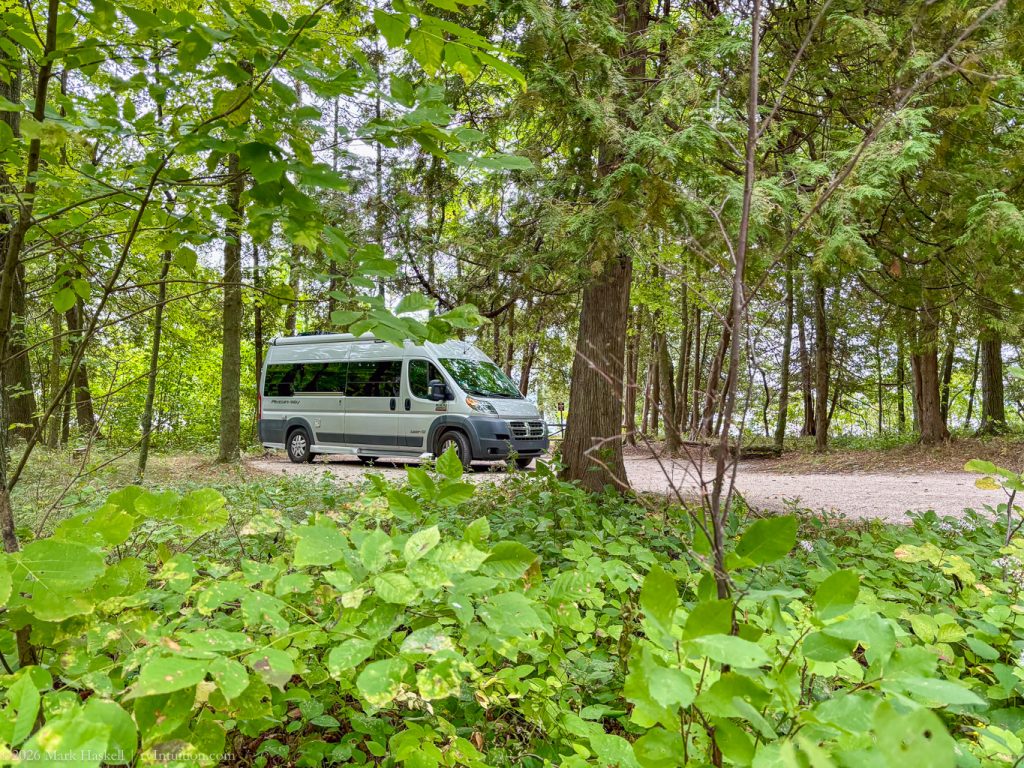
Today we explore the northern part of Wisconsin’s Door Peninsula from our base in South Nicolet Bay Campground.
Door County Day 2
11 September 2025 – Thursday
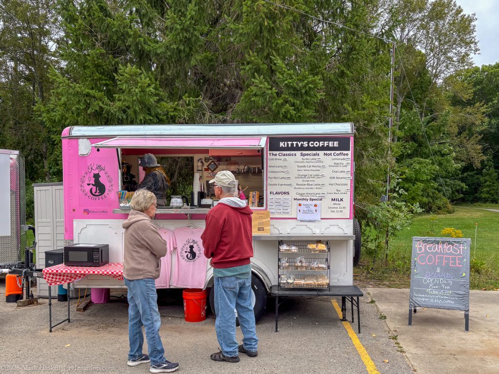
Up before Beth, I walked over to Nicolet Beach and checked out the beverages at Kitty’s Coffee.
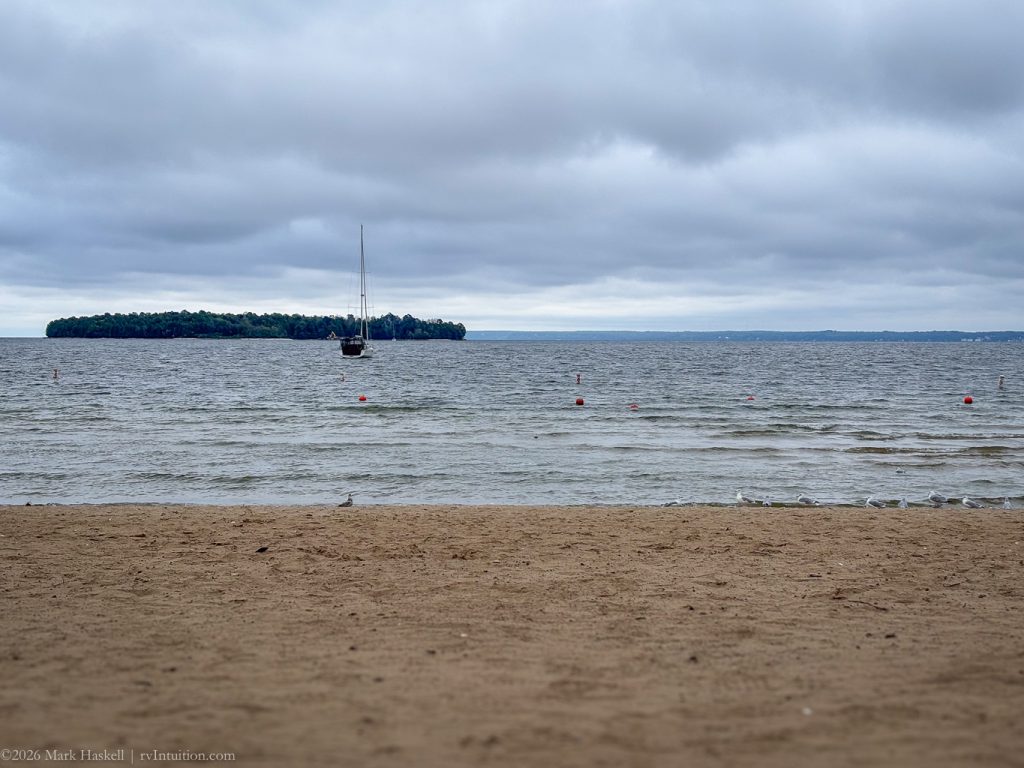
Seagulls were the only beachgoers at this hour. One sailboat had moored between here and the island overnight.
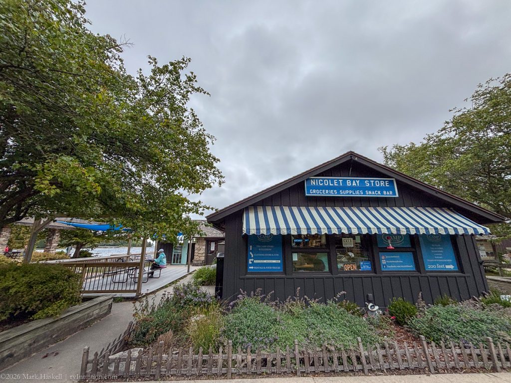
A few campers were enjoying the picnic tables outside the Nicolet Bay Store before they opened.
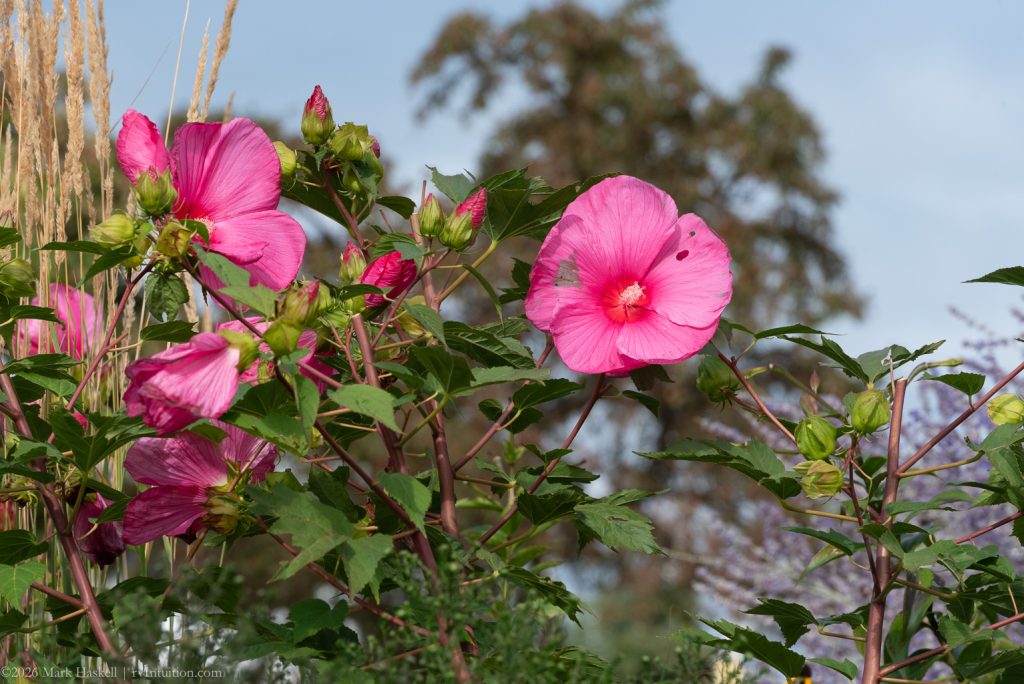
Flowers brightened the day on the trail back to our campsite.
Beth had the heat on and was ready for coffee by the time I returned.
0940 74,742 60°F Leave Campsite
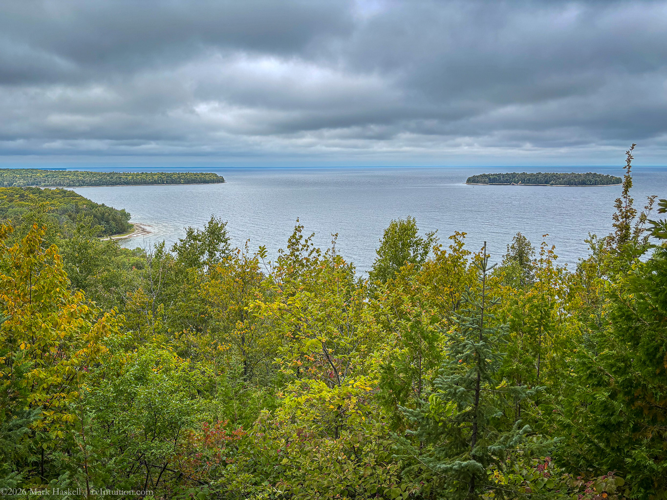
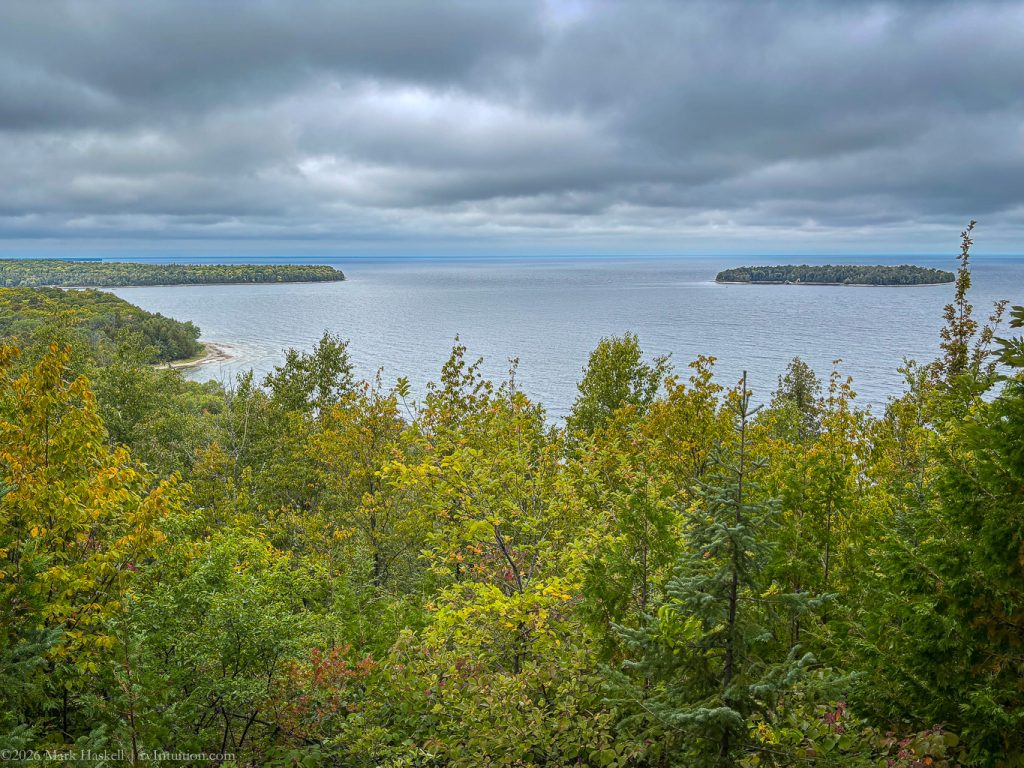
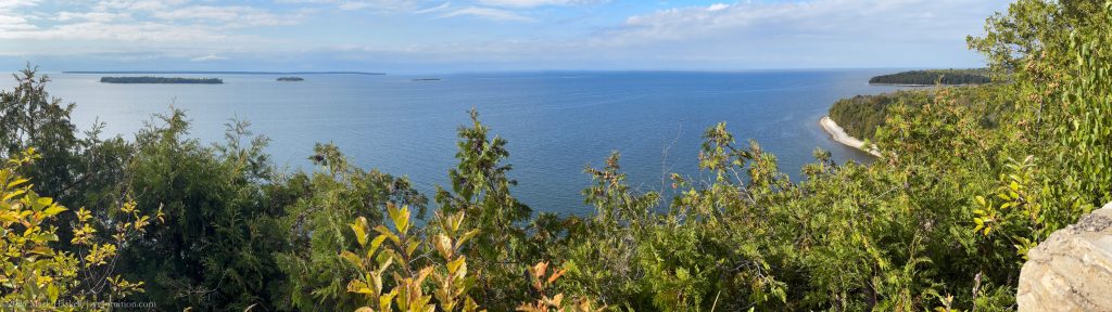
0950 74,743 60°F Eagle Panorama
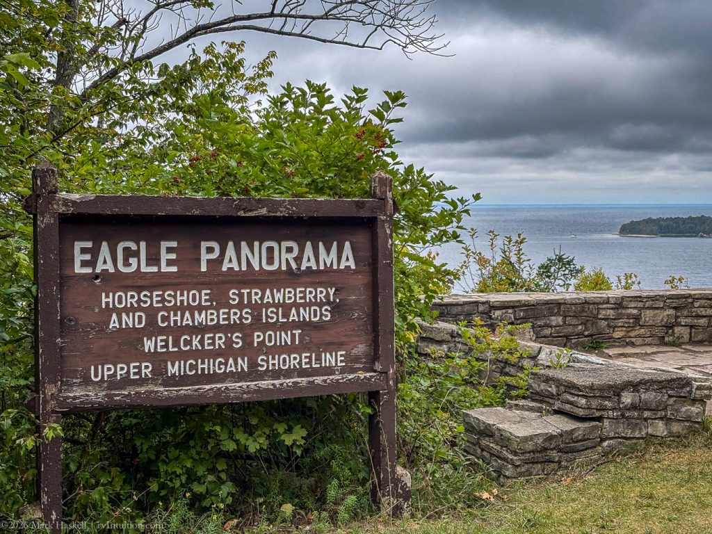
Lovely views under grey skies were available from this pullout in the park.
0952 74,744 60°F Eagle Tower
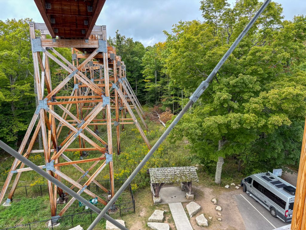
Less than a mile down the road, we parked next to the massive tower and ramp complex.
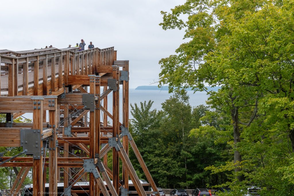
A long, winding ramp provides easy ascent to the tower. We passed people in wheelchairs and using walkers. We’re thankful that everyone can enjoy the view.
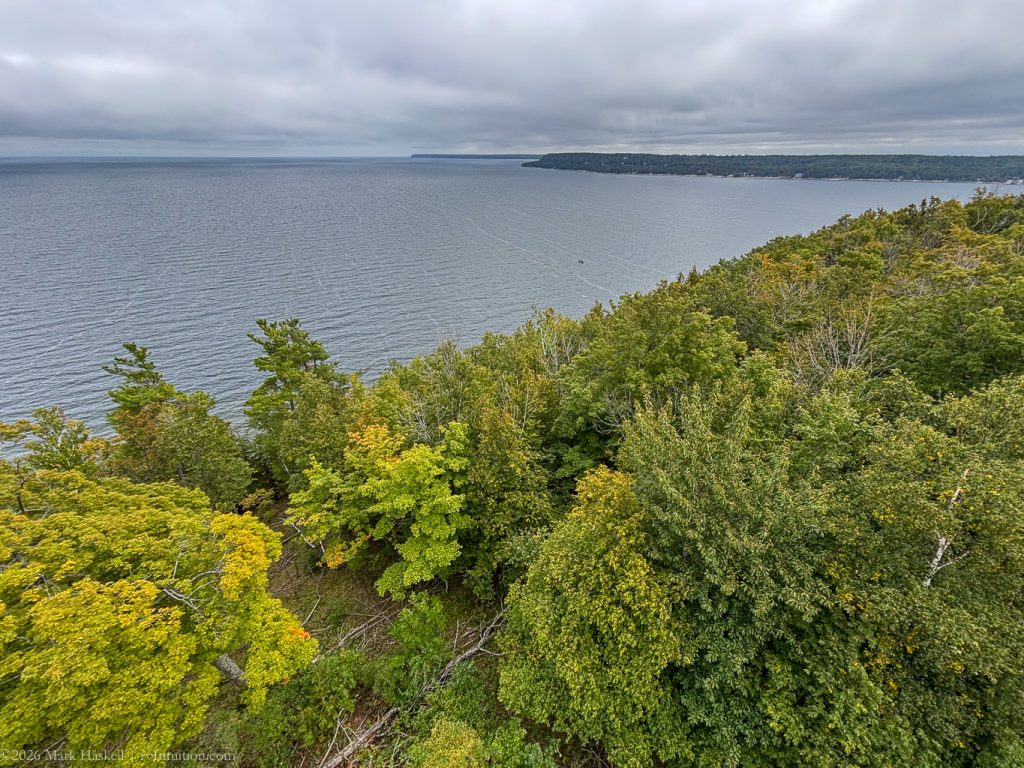
And the climb is worthwhile!
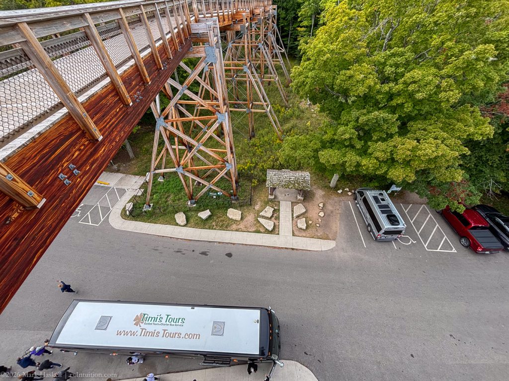
Our timing was good. We were on our way down before a large tourbus arrived.
1045 74,746 62°F 584′ Ephraim, WI
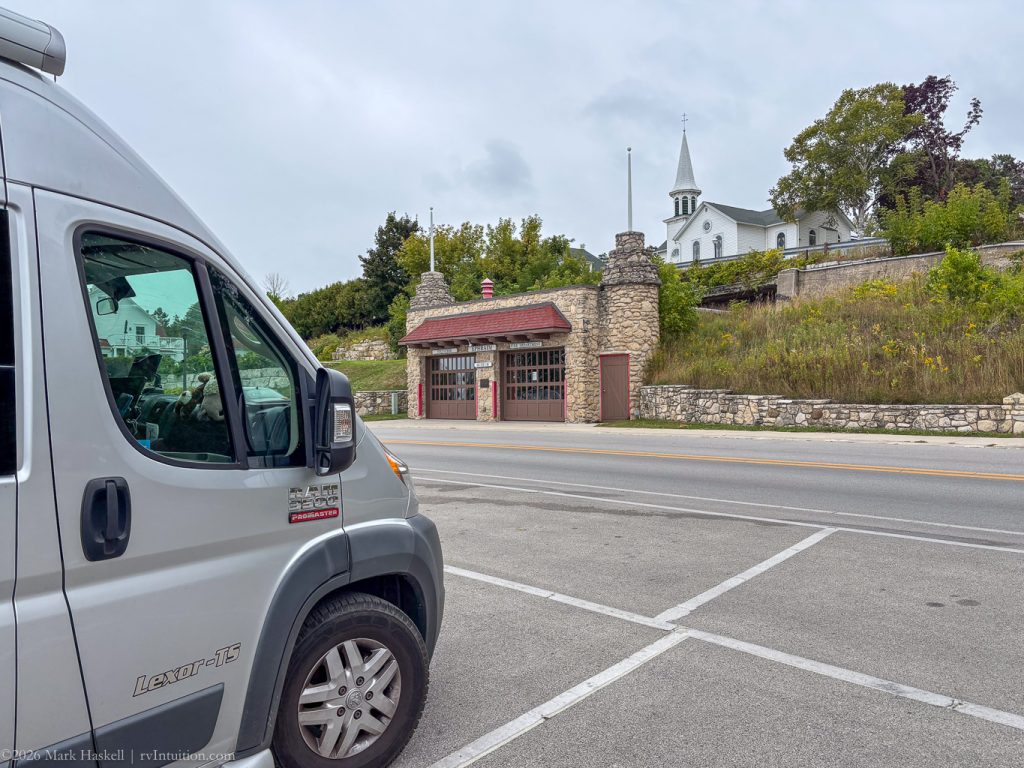
Pulled over to check out this unique Fire Station built into the side of a hill.
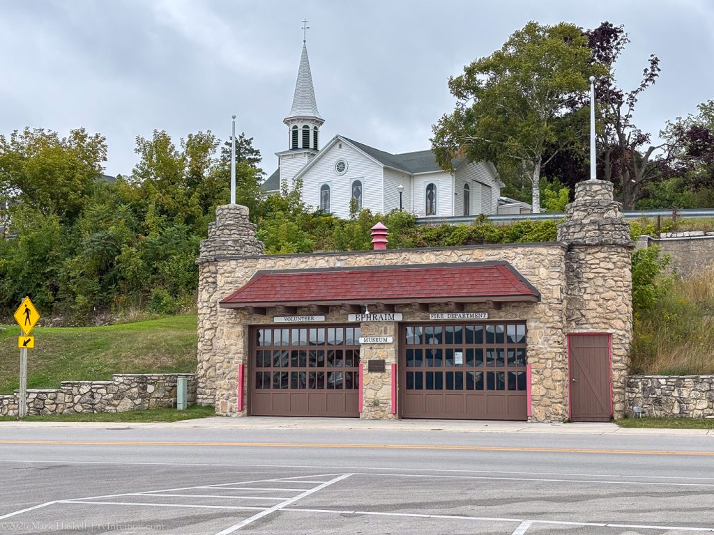
Open weekends and most evenings, the Ephraim Fire Museum preserves the Fire Station built in the 1930’s.
From the Museum’s web site:
Architect William Bernhard, a contemporary of Frank Lloyd Wright, designed a stone building using, in part, rocks salvaged from the original demolition. The station was erected with the help of Works Progress Administration (WPA) workers, and it — as well as a 1934 fire truck — were purchased for a little more than $7,000. “Including the dynamite.
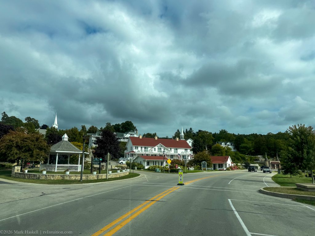
Ephraim is a cute town, but we left it behind to find a bakery recommended by some fellow campers.
1103 74,753 63°F 712′ Route 42 Between Sister Bay and Ellison Bay
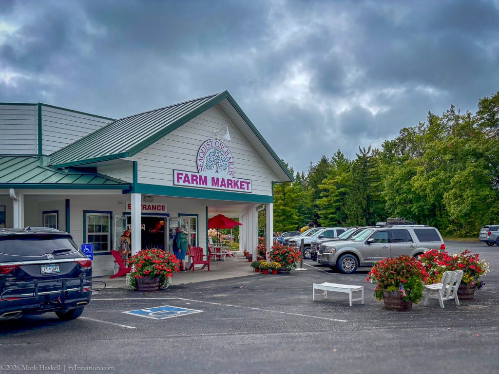
Seaquist Orchards was a fine place to pick up fresh fruit and a morning treat.
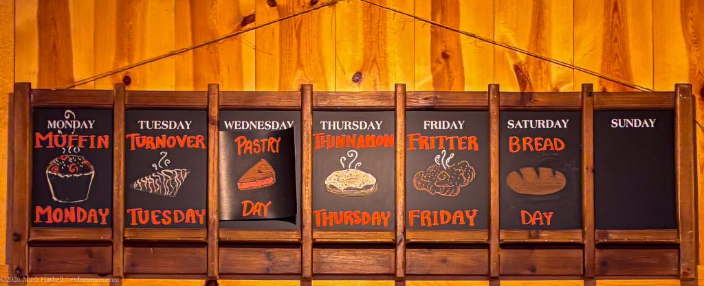
Here’s their fresh bakery schedule in case you ever find yourself craving a snack while in the area.
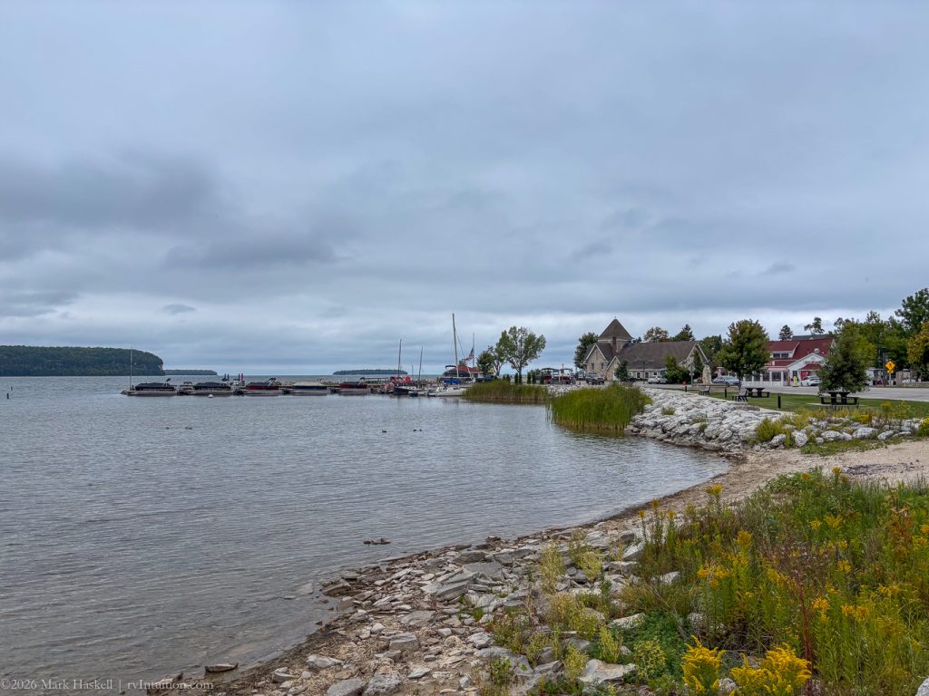
1138 74,756 64°F 583′ Ellison Bay, WI
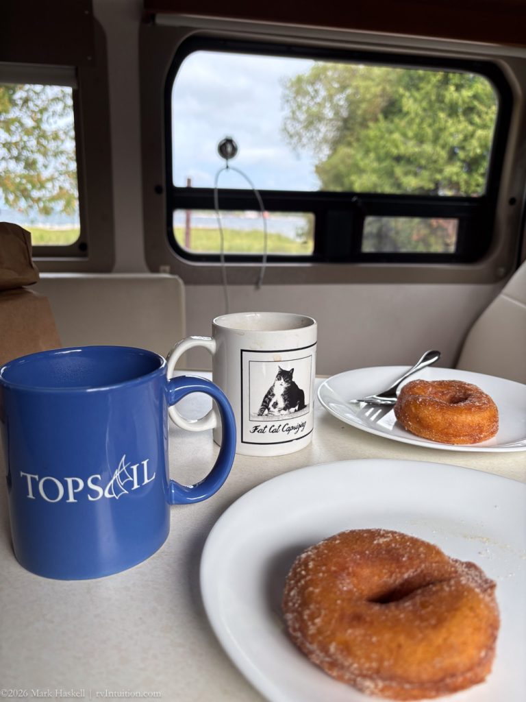
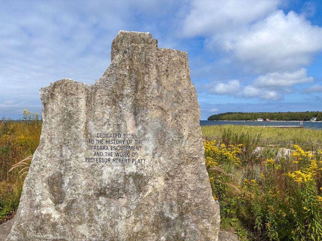
Stopped in the Community Park to enjoy our fresh donuts! Nice view of harbor and the Niagara Escarpment.
After finishing our donuts, we headed north again to find a park where we could walk off some calories.
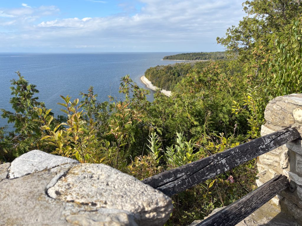
1255 74,766 765′ Door Bluff Headlands County Park
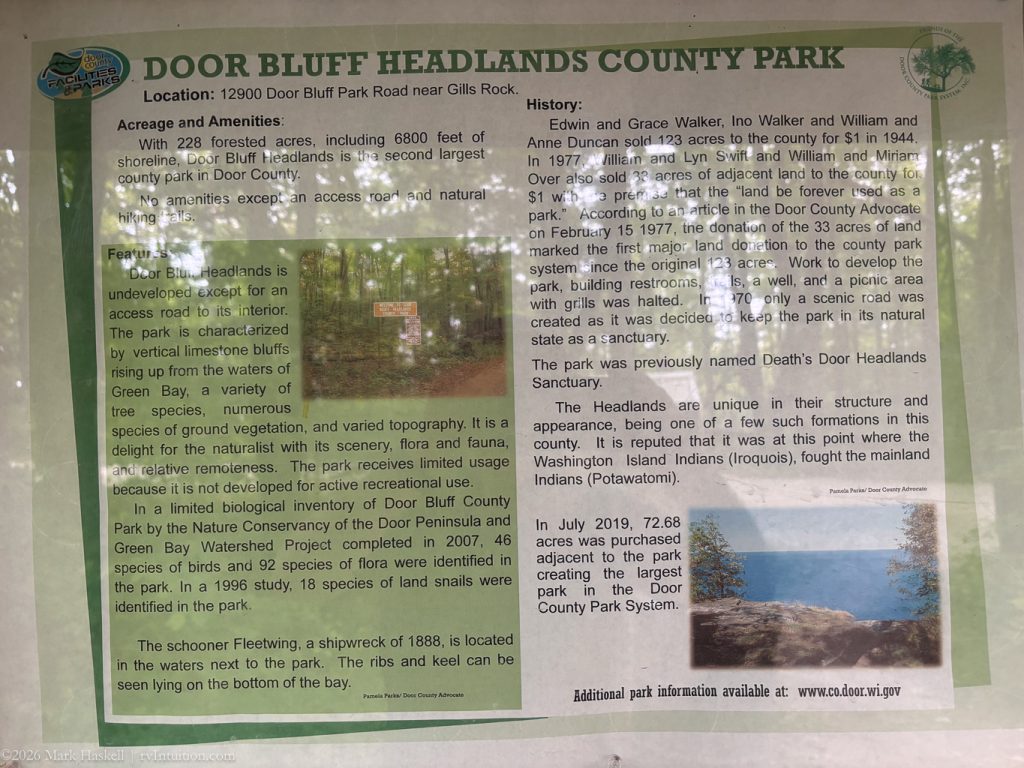
With only a few other cars in the parking lot, finding a spot was easy. Beth, still recovering from a sprained ankle, stayed behind and made lunch, but encouraged me to set off on the Deathdoor Bluff Trail. Should I be worried?
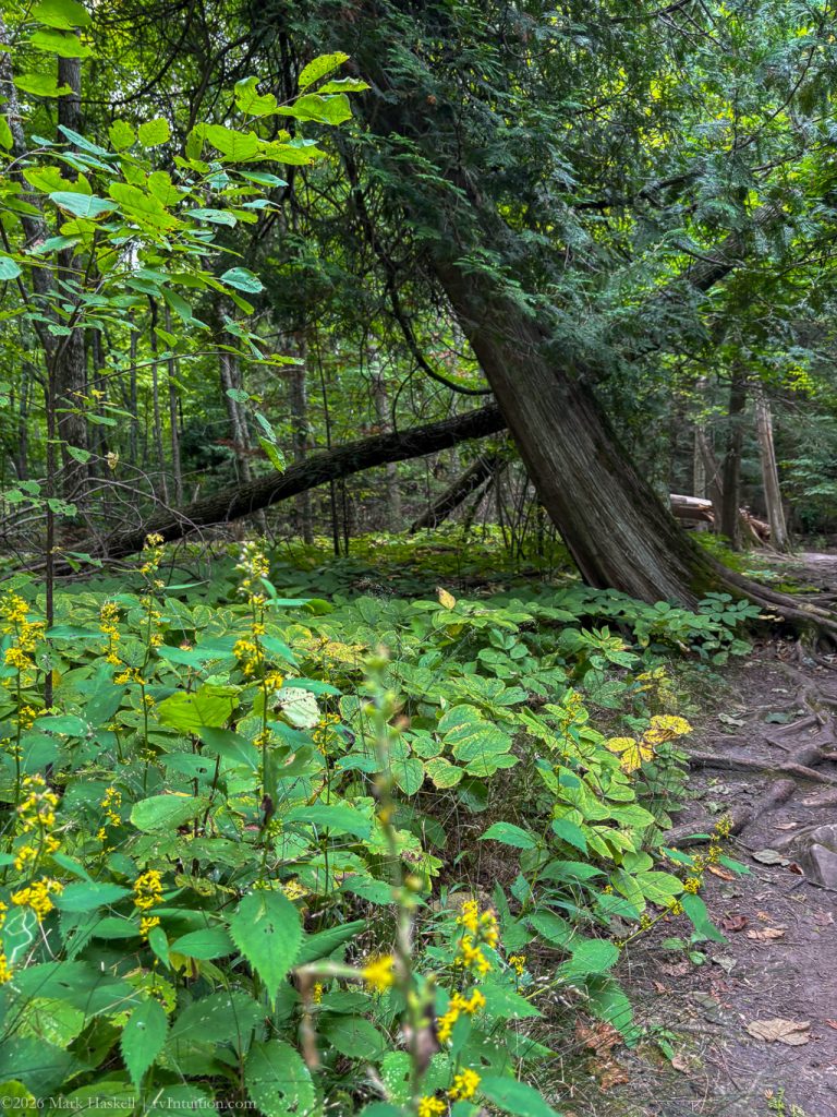
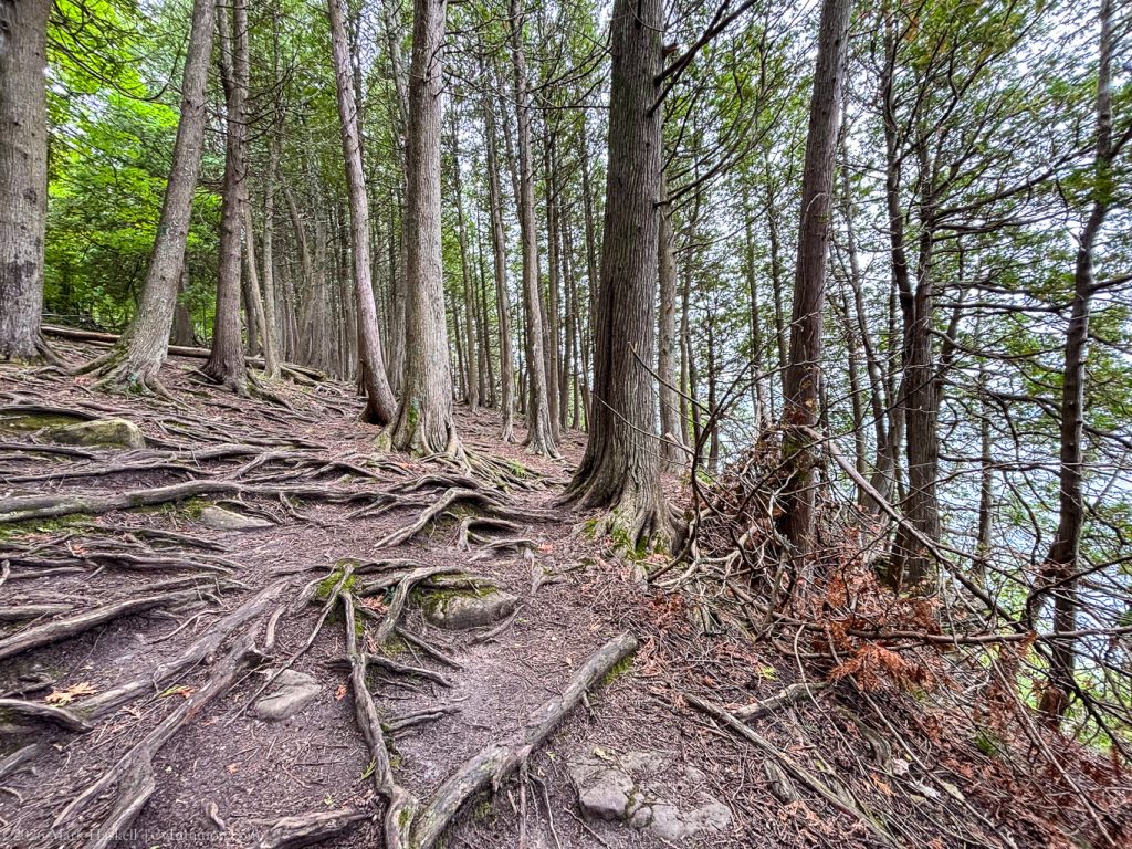
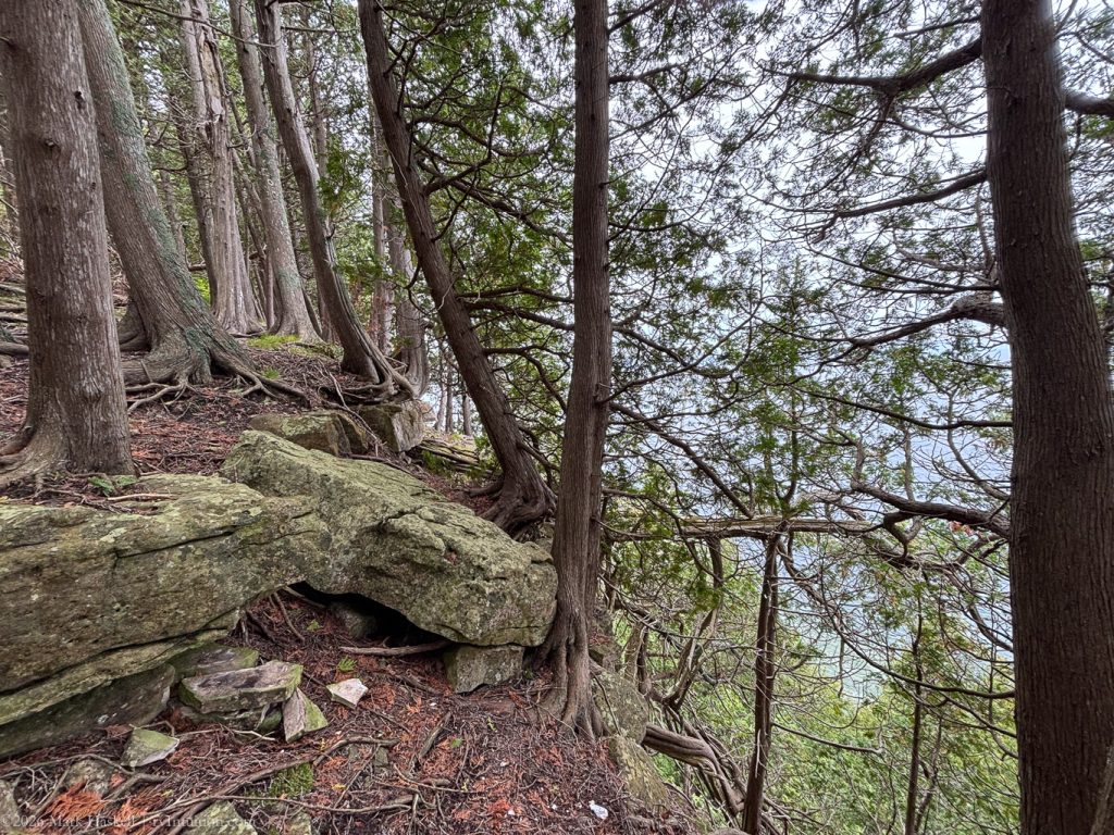
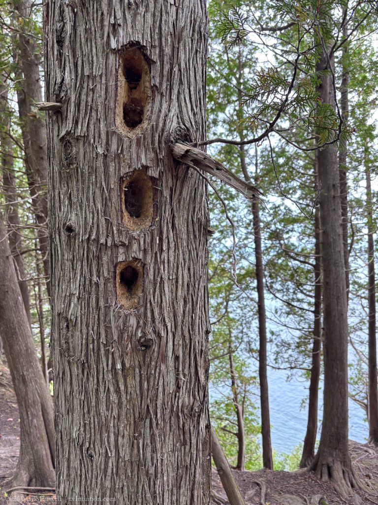
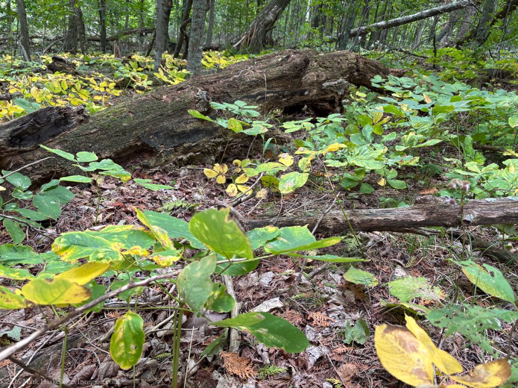
Elevation only changes 154 feet up the escarpment, but be prepared for lots of tree roots and rocks. I was fascinated by the tenacity of trees surviving in clefts and cracks in the rocks.
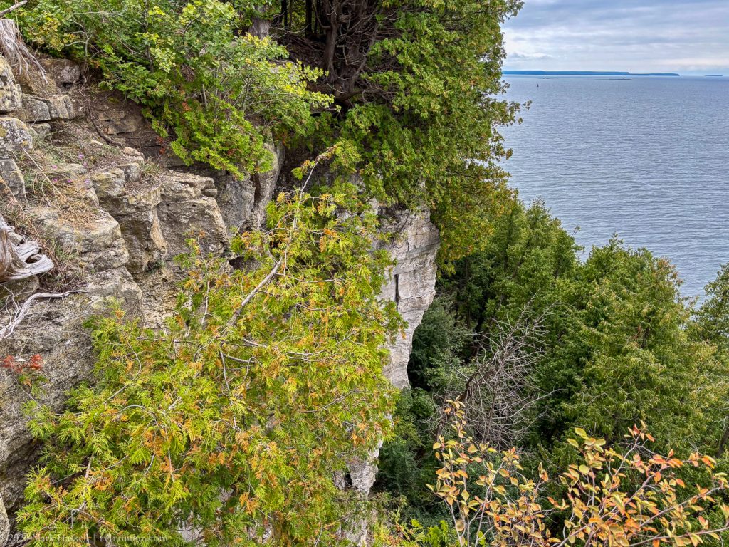
Once reaching the top, hikers are rewarded with beautiful views out over Green Bay and Lake Michigan as the trail winds along the cliffs.
I returned from Death’s Door without incident, though I was thankful for hiking boots with good traction. We enjoyed lunch in the shady parking lot.
Back on the main road, we stopped briefly in Gills Rock, WI
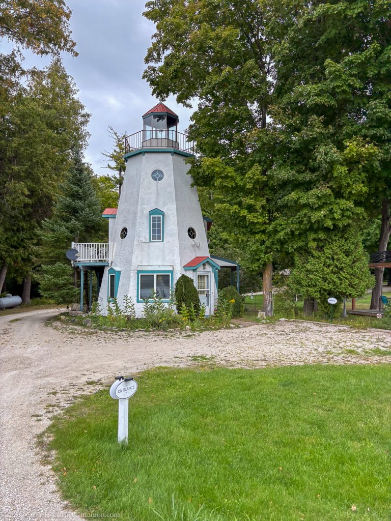
I couldn’t resist taking a photo of this lighthouse apartment.
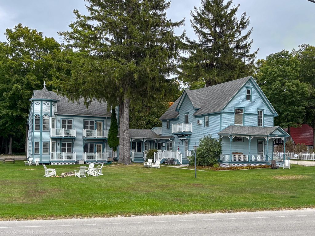
It is part of the charming Harbor Light Inn.
1413 74,772 63°F 559′ Northport, WI
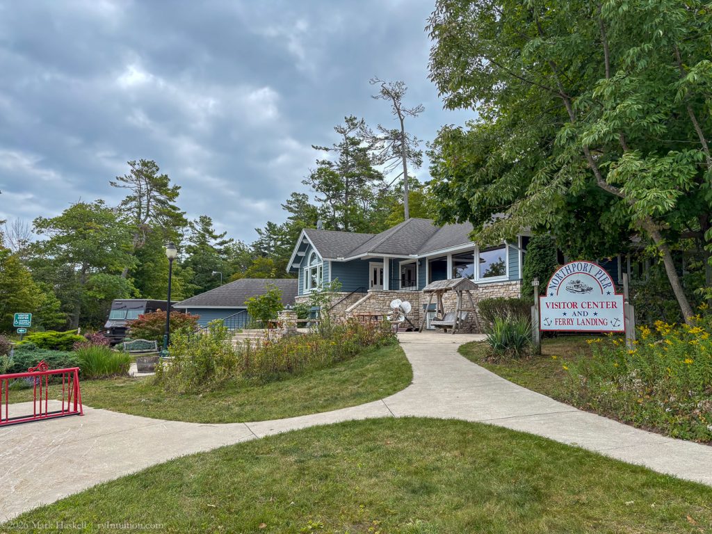
Plenty of parking is available for RV’s at the Visitor’s Center.
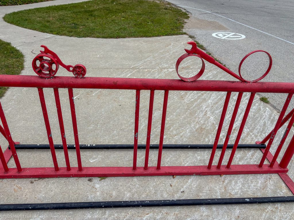
They even have secure bike parking.
Northport is at the top of the Door Peninsula, but you can go further north in Door County. The Visitor Center had lots of information about Washington Island, just a short ferry ride away.
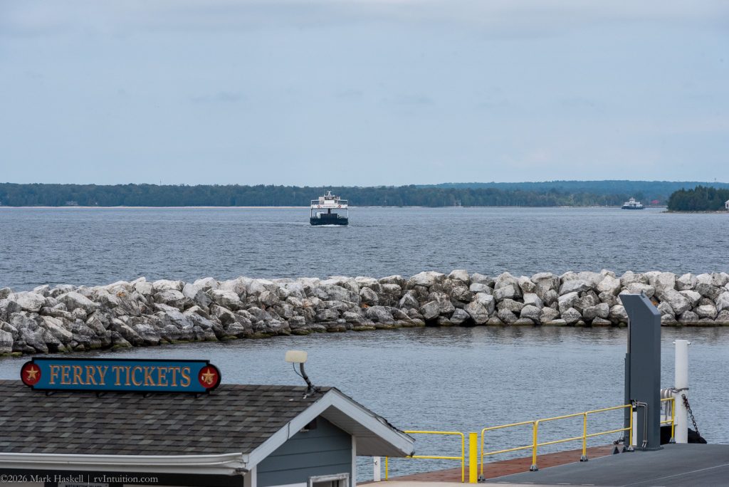
Two ferries were running the five mile route through Death’s Door Passage. Although it offers a shortcut between Green Bay and Lake Michigan, many ships and sailors have been lost here. We need to come back when we can devote a day or two to the Island. More information about the ferry crossing can be found at WISFerry.com.
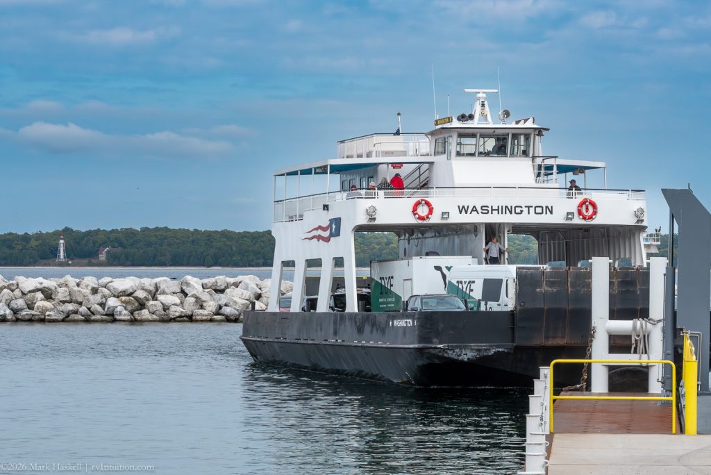
Here’s the Washington pulling into Northport with the Plum Island light visible across the water.
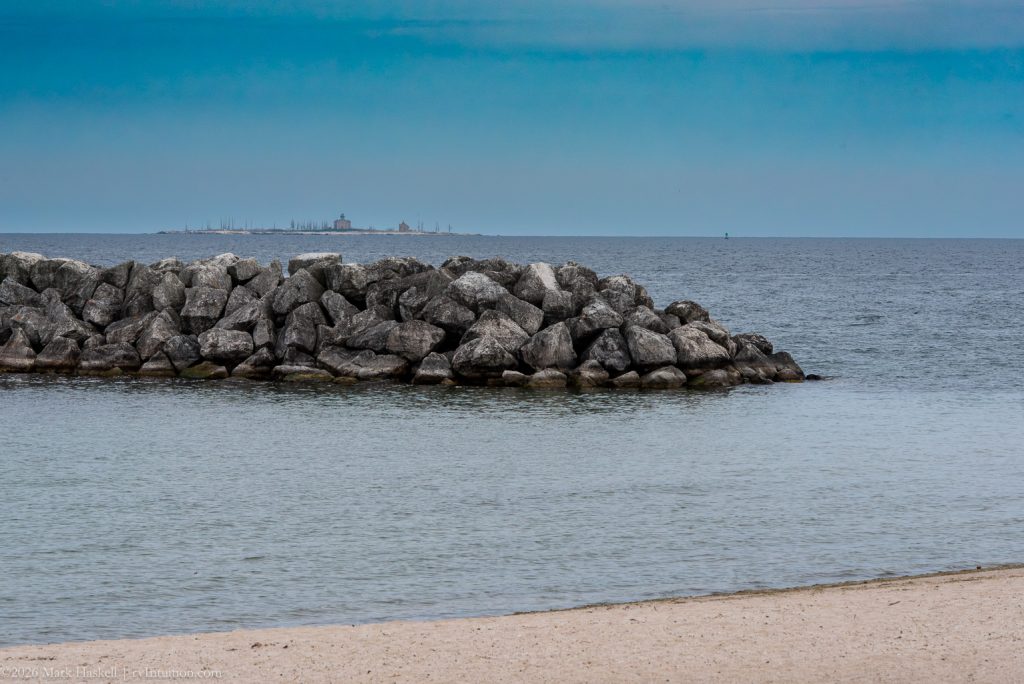
Looking due east, we could just make out the 1858 Pilot Island Lighthouse on the horizon.
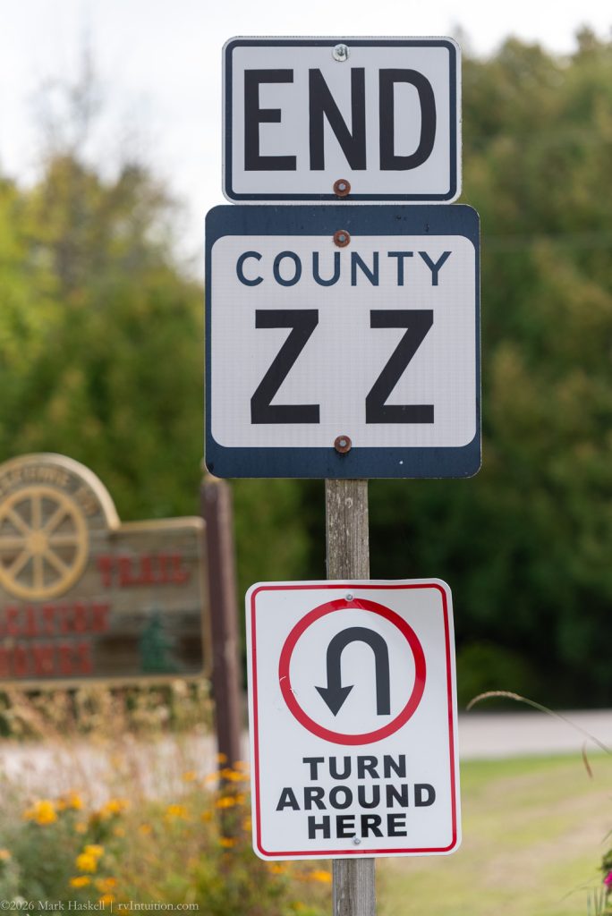
Unless you take the ferry, Northport is the end of the road. Wisconsin counties name their roads alphabetically, so we understood it was time to turn around at the end of road ZZ.
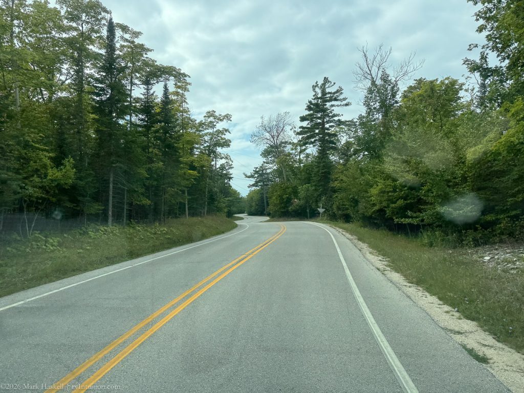
We learned at the visitor center that Wisconsin uses curves to encourage drivers to keep their speed down. Route 42 is known as “The Curvy Road.”
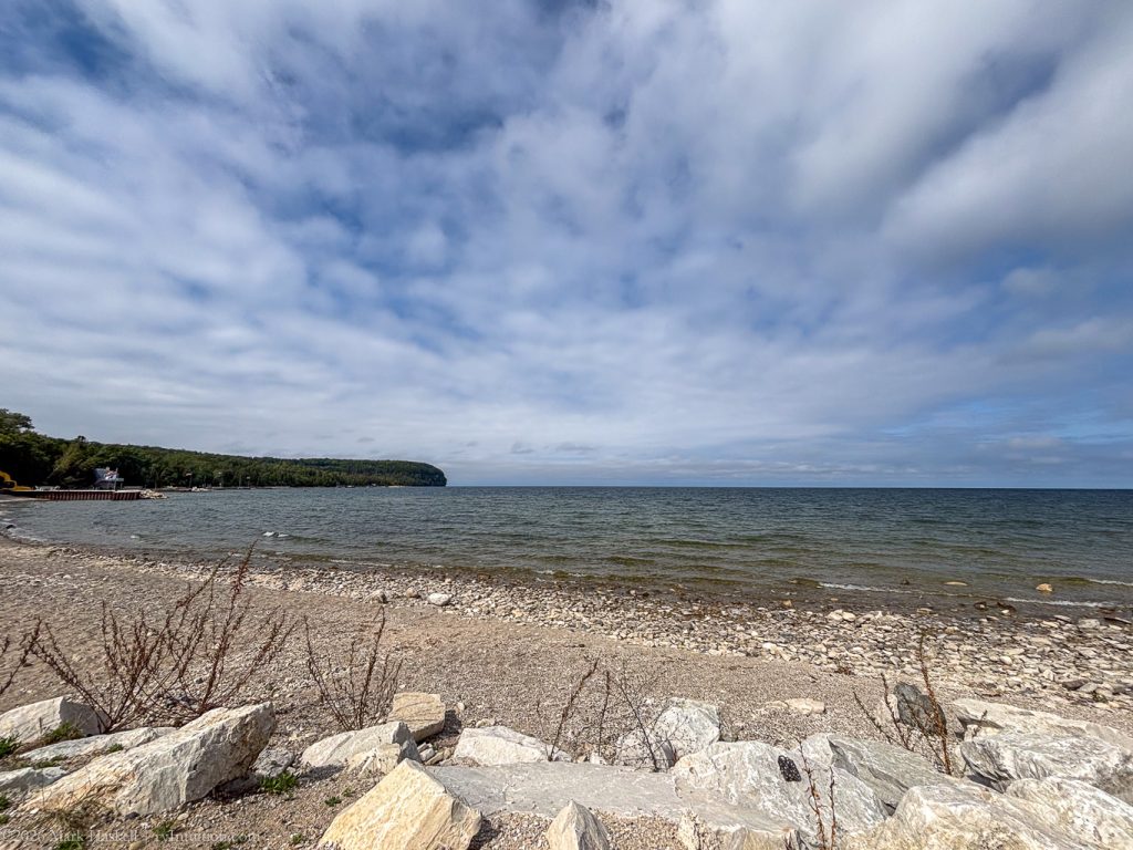
1451 74,782 65°F 501′ Rowley Bay, WI
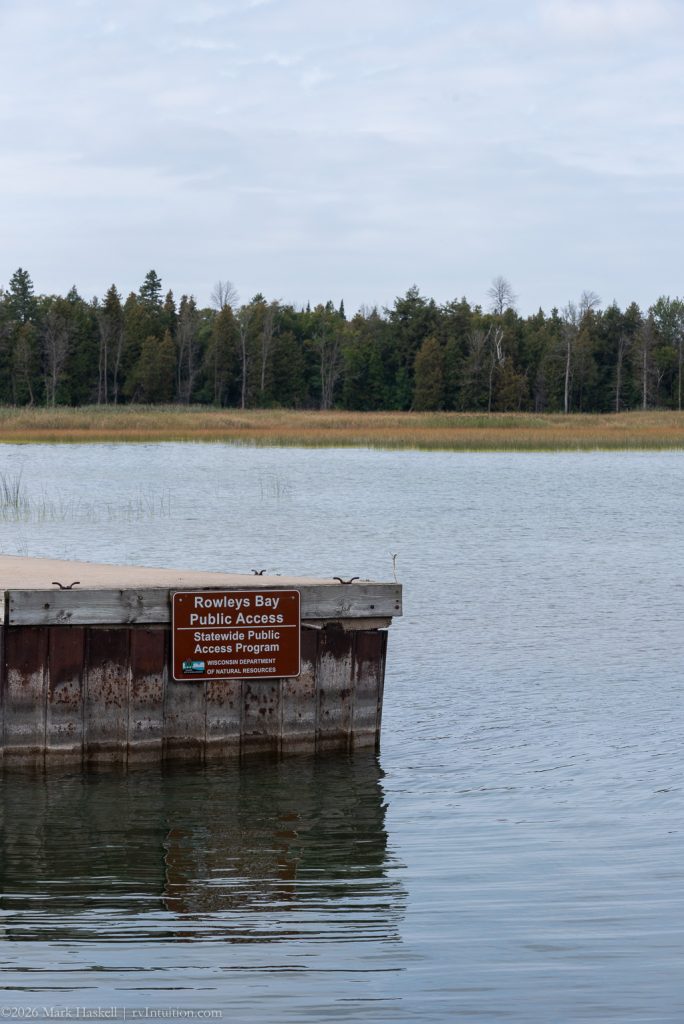
Rowleys Bay Public Access offered a pretty view and a safe place to launch a boat.
On our way back down the peninsulas we drove through Sister Bay, WI
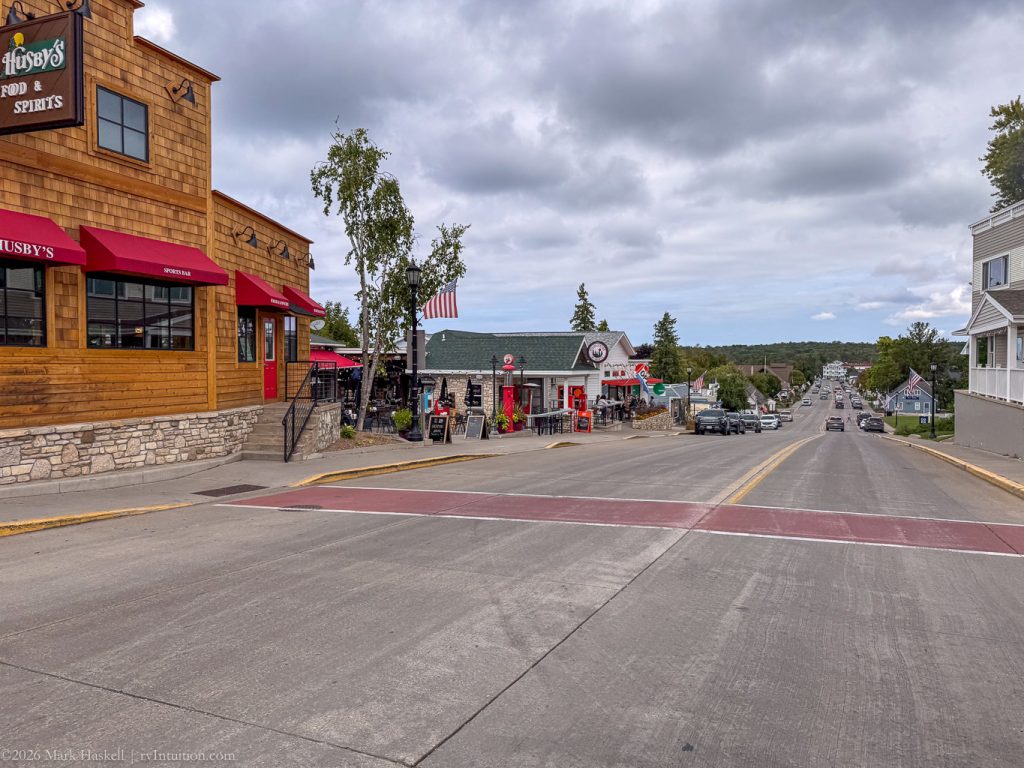
It’s another cute summer town with lots of lodging, shopping and dining options along the bay.
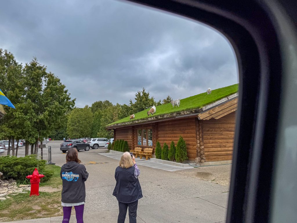
We pulled over to check out the roof at Al Johnson’s Swedish Restaurant. We should have done more research and planned a dinner here where goats cavort on the restaurant’s sod roof.
1538 74,801 64°F 711′ Peninsula State Park
Instead of dining with goats, we drove back to the park to catch some iconic views. Here we are at the Skyline Road Overlook
where we could see our campground.
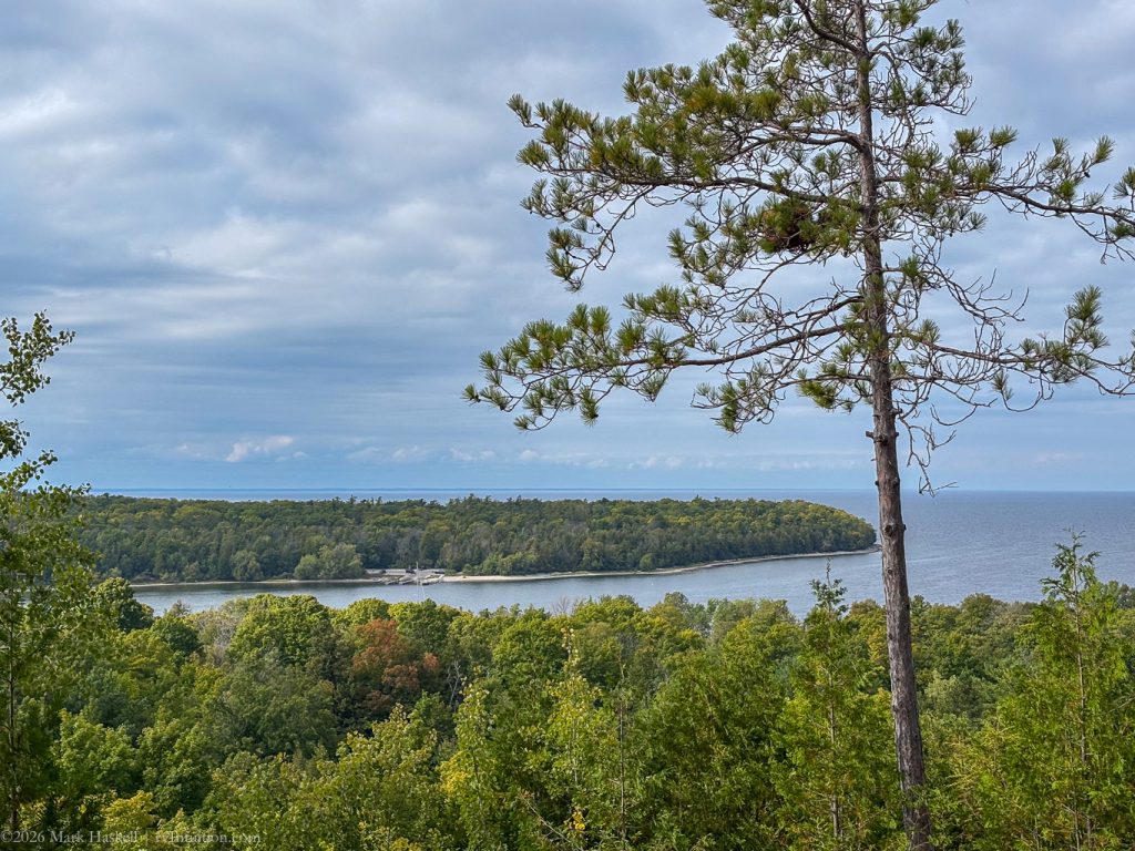
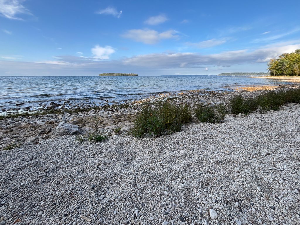
1600 74,803 65°F 716′ Island Overlook
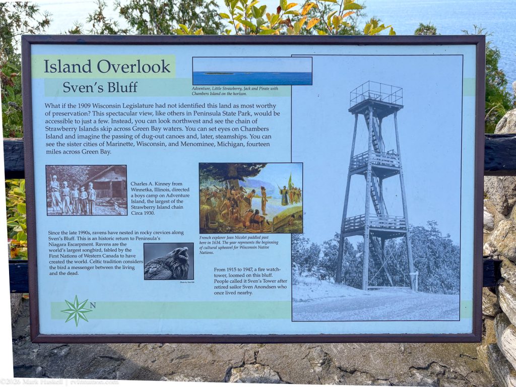
A couple more miles down the road from Skyline brought us to Sven’s Bluff.
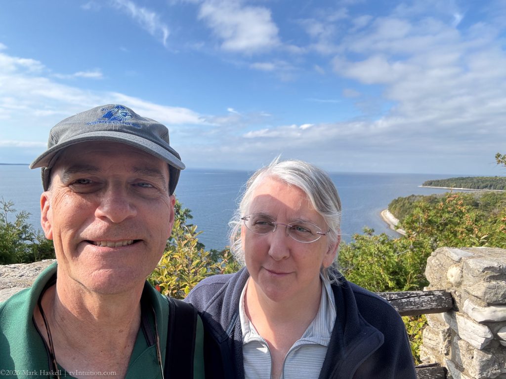
These are the views we had seen in Door County tourism brochures.
Looking at a map, we were surprised to be seeing Michigan across the bay. This is one of the few places you can look west from Wisconsin and see Michigan.
1643 74,806 65°F 550′ Back in our Campsite.
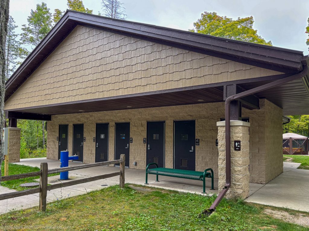
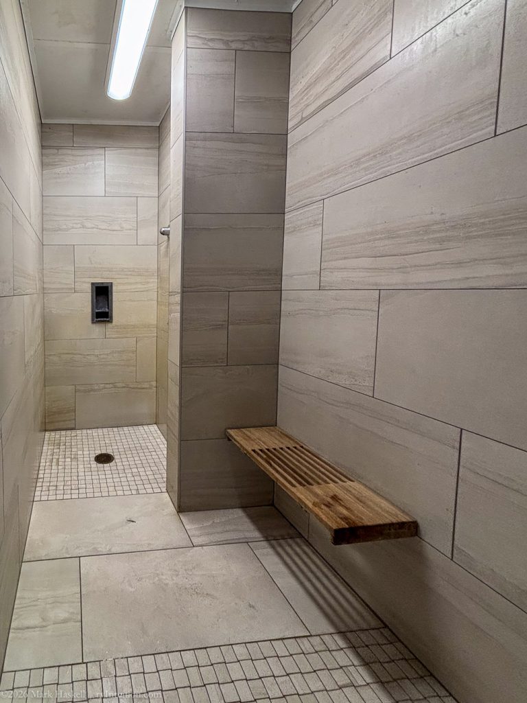
Shower facilities are modern, clean, and have individual shower rooms.
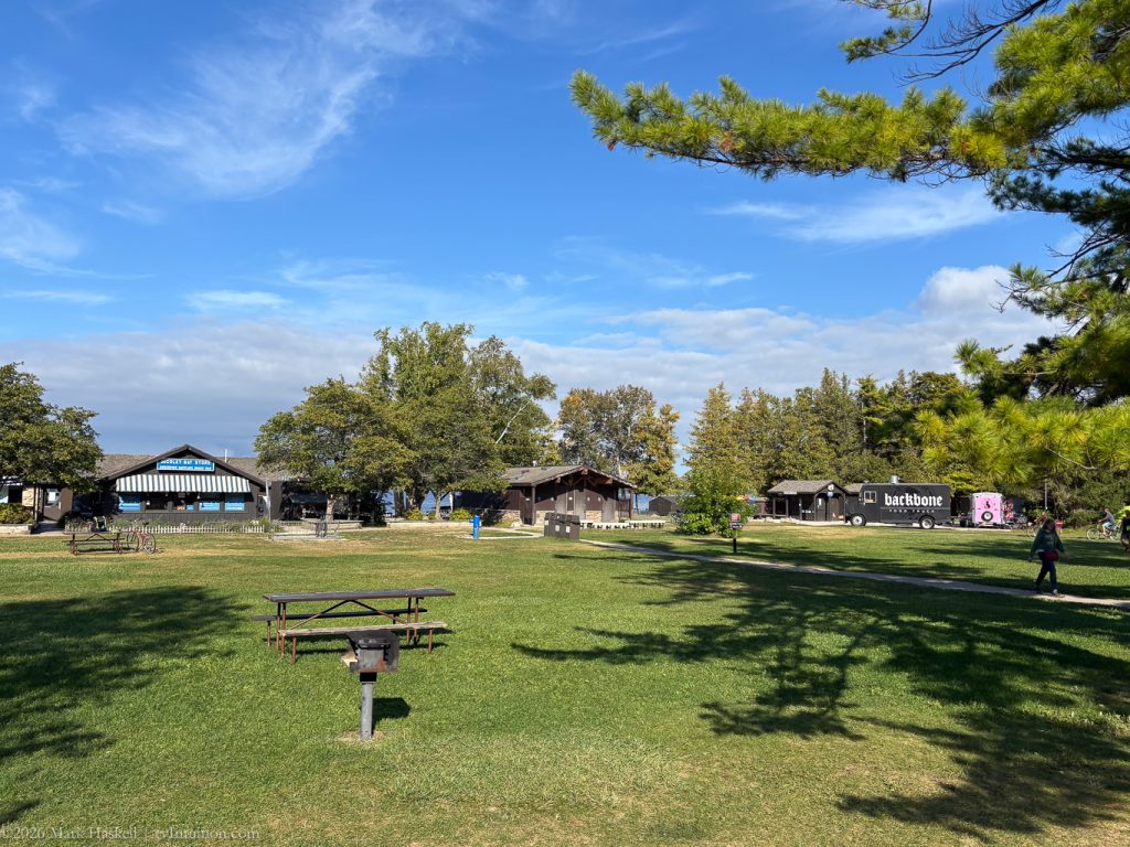
After getting cleaned up we walked over to Nicolet Beach to see what the food trucks had on offer. They weren’t open, so we checked out the campground store where clothing was discounted for the end of the season. With nights getting chilly, I bought an extra long-sleeved t-shirt.
Goodnight from South Nicolet Bay
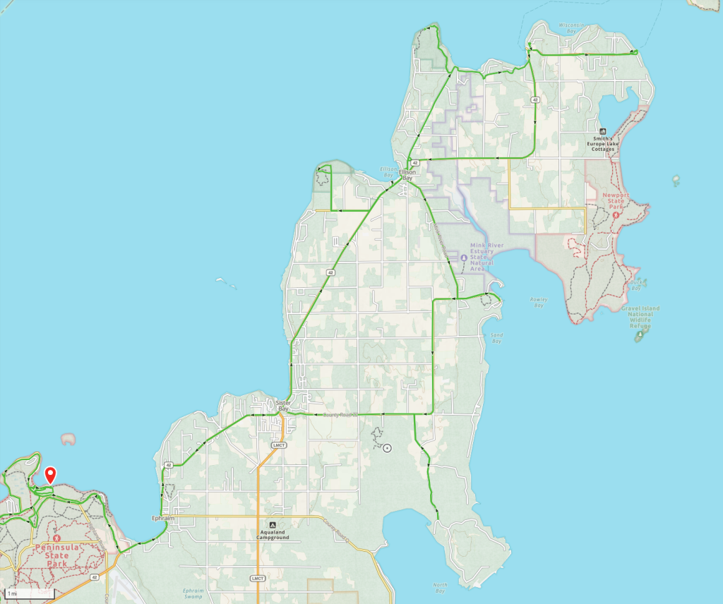
Today’s Route Map
Leave a Reply