
On our last day in Door County, we leave our campsite in Peninsula State Park and visit:
- Sven’s Bluff Overlook
- Cana Island
- Baileys Harbor
- Whitefish Dunes
- Sturgeon Bay Ship Canal Lighthouses
- Stonecipher Astronomy Center
- Potawatomi State Park
Door County Day 3
12 September 2025 – Friday
We took one more walk around “our” beach at South Nicolet Bay Campground before eating breakfast and breaking camp.
0911 74,811 60°F 550′ Leave Campsite
0950 74,812 60°F 550′ Dump Station
All three campgrounds at Peninsula State Park use these 4 dump station lanes. We counted over 800 sites and are thankful to not be here at check-out time on a summer Sunday!
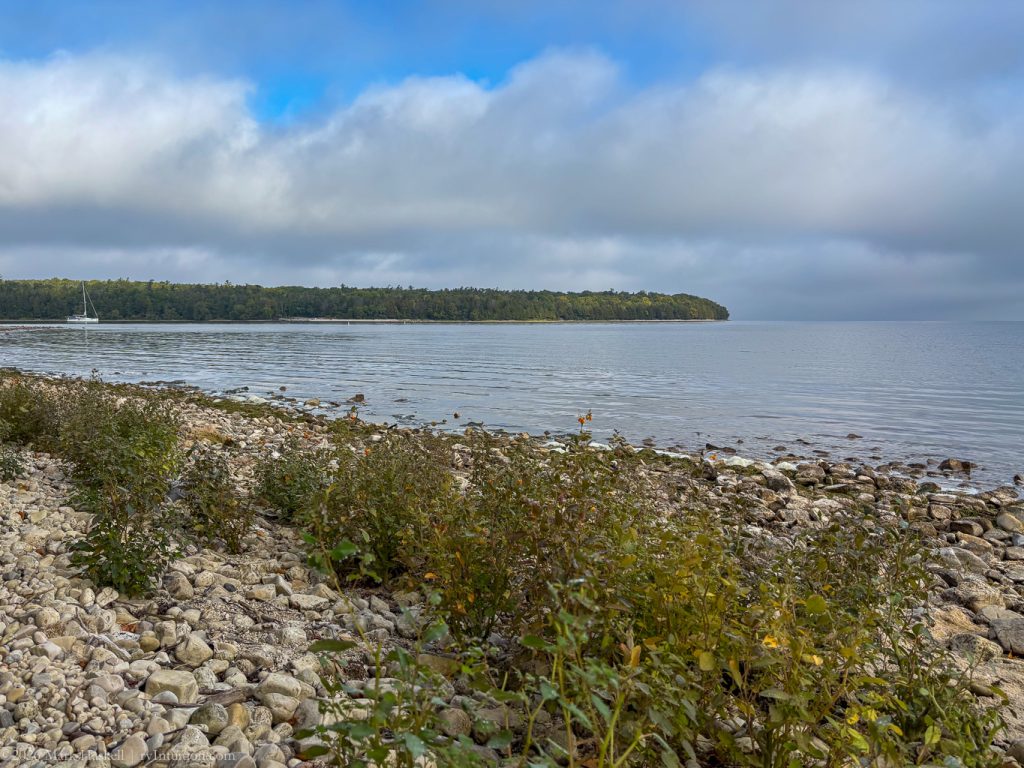
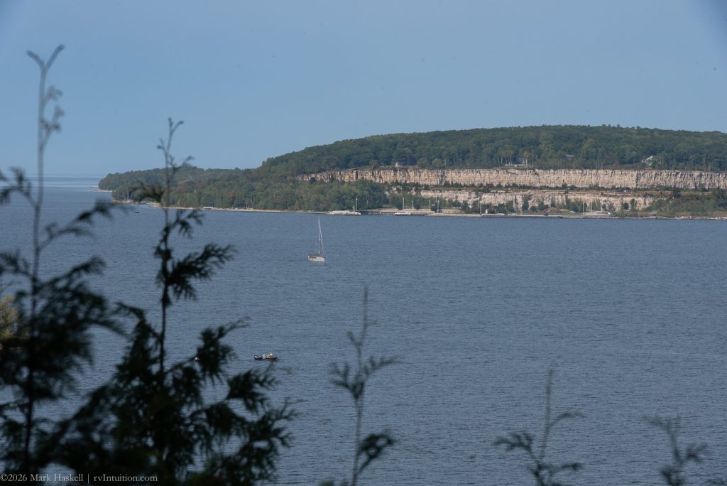
Sven’s Bluff Overlook
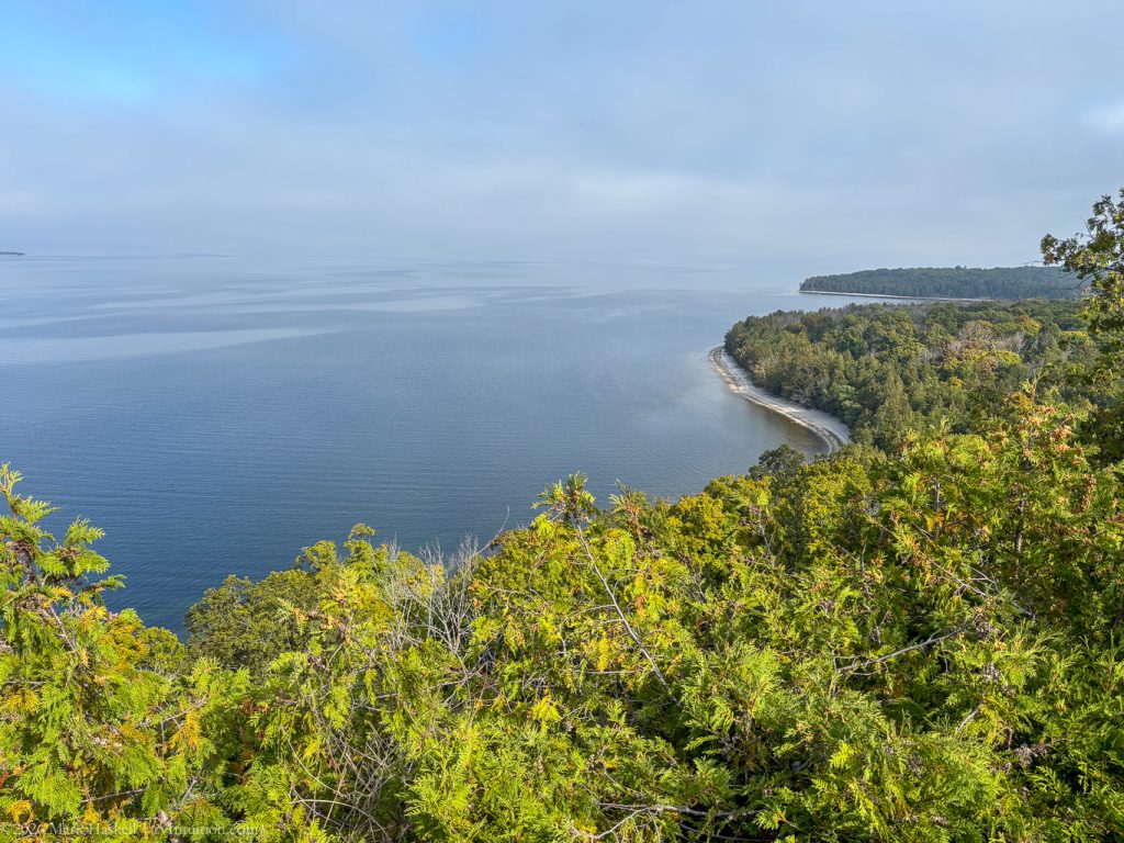
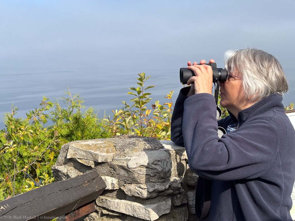
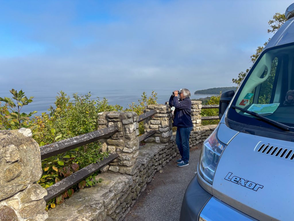
Stopped here again as the views are soooo nice.
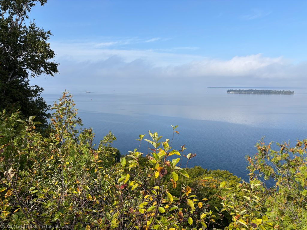
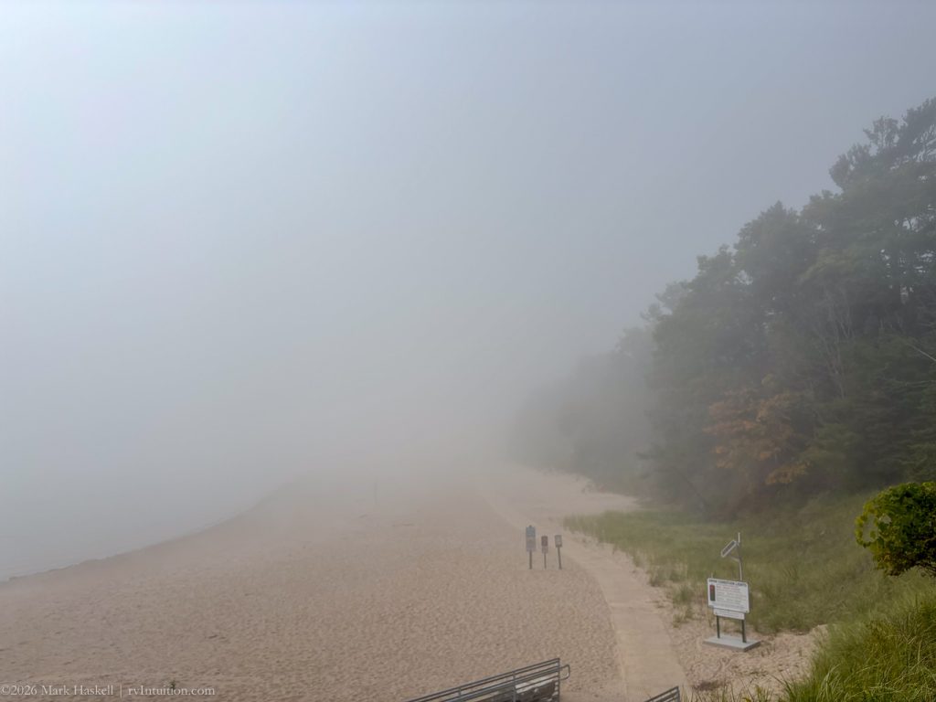
1047 74,826 Cana Island, WI
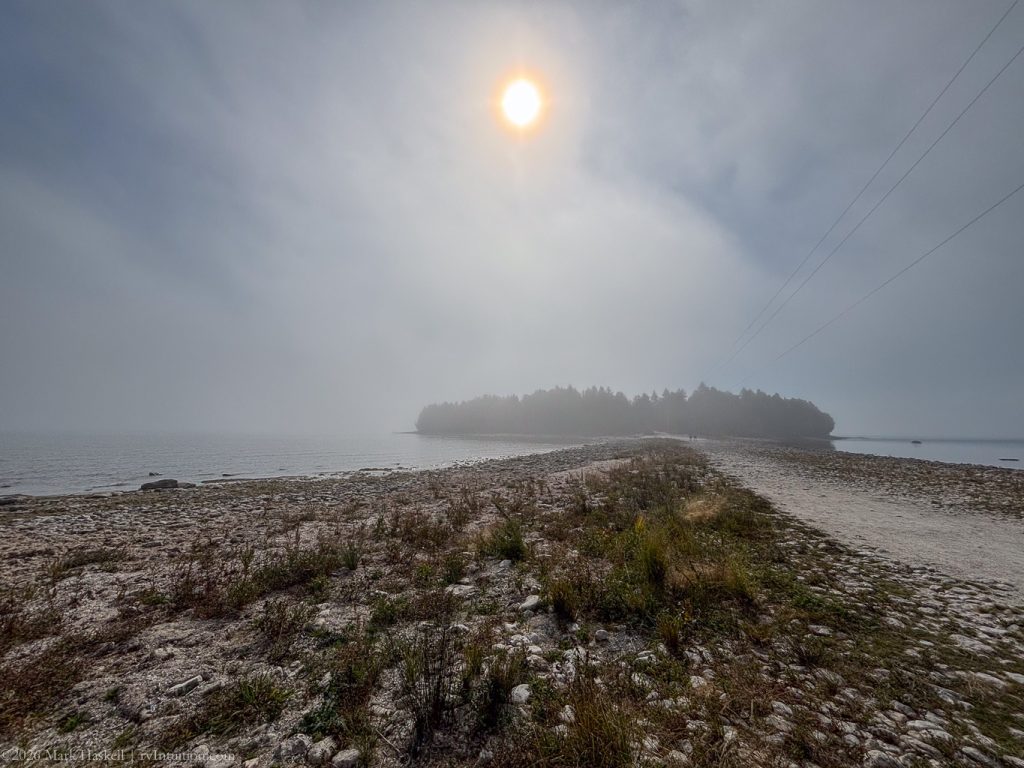
Fog made the island look mysterious. Learned there is a $12 fee to go on the island, so we decided to leave that for a clearer day. Unfortunately the lighthouse isn’t visible from the mainland.
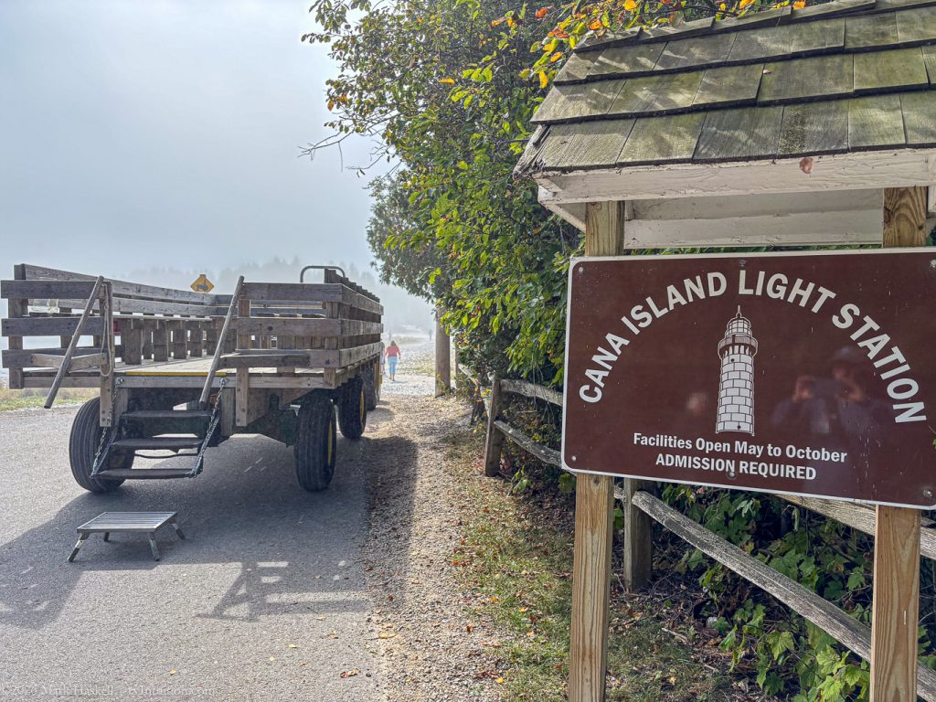
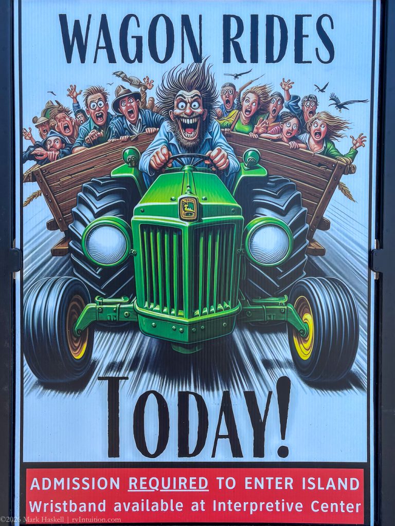
And the wagon ride sign looked a little bit scary!
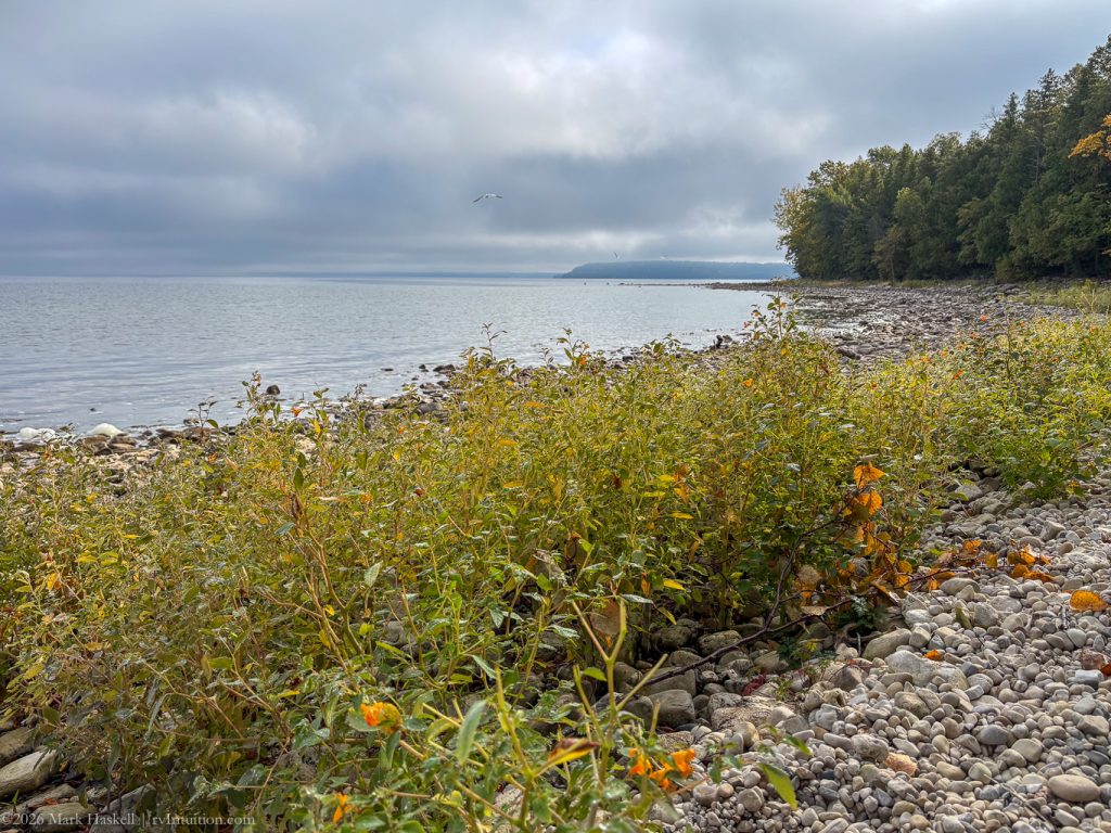
1137 74,833 68°F Bailey’s Harbor, WI
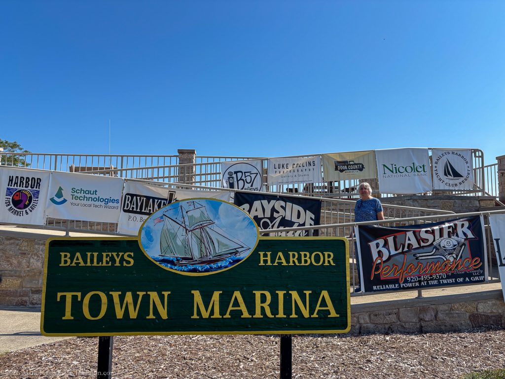
Parked above the marina and walked down this series of ramps.
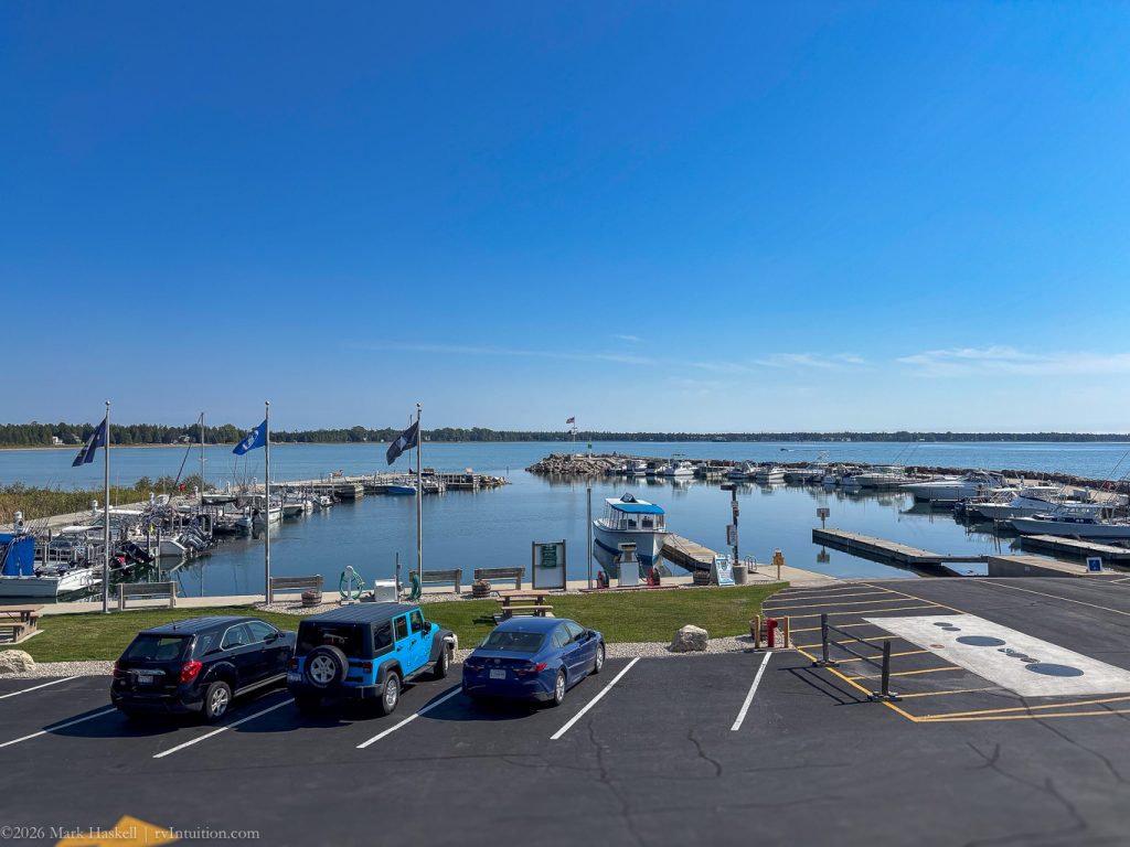
The facilities are in great shape with floating docks and easy access to boat ramps.
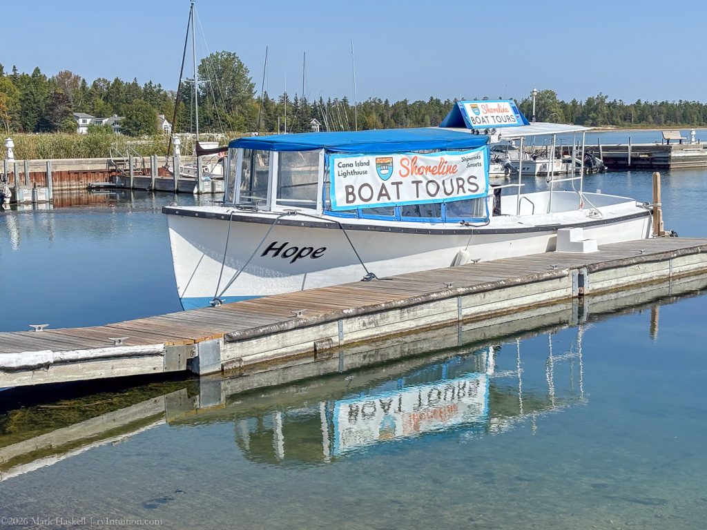
Boat tours leave from here offering a view of the Cana Island lighthouse from the water.
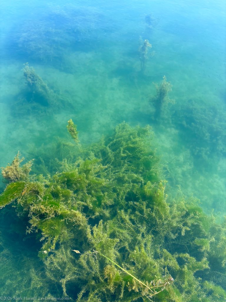
Plants are growing well in the marina. Not sure if it is a problem.
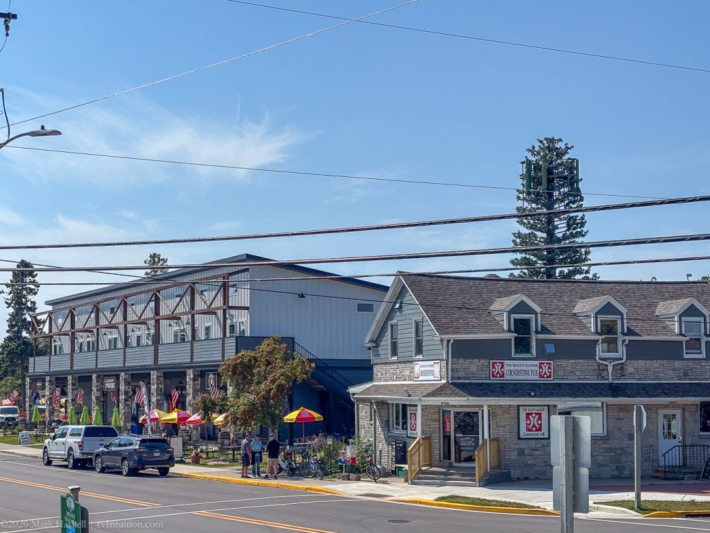
Shops, pubs, and restaurants are an easy walk from the harbor.
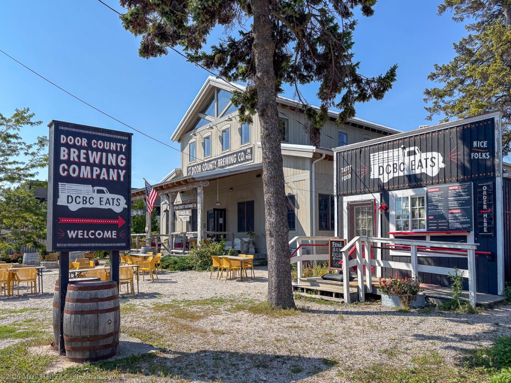
Door County Brewing Company looks like a good spot for beer and music.
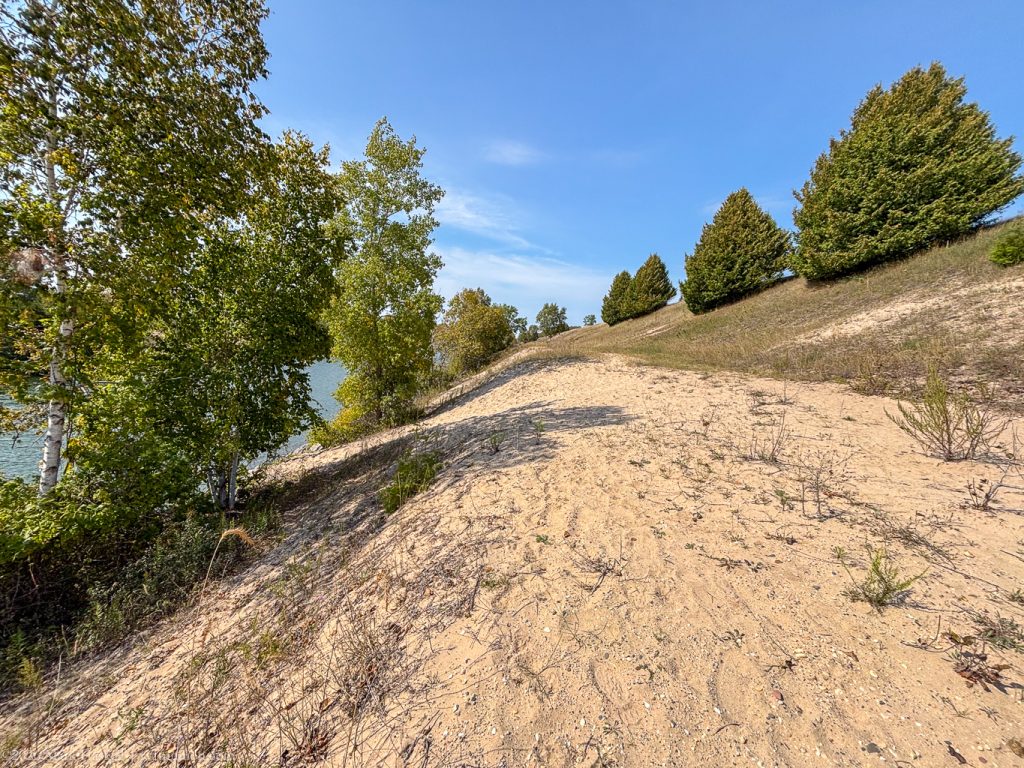
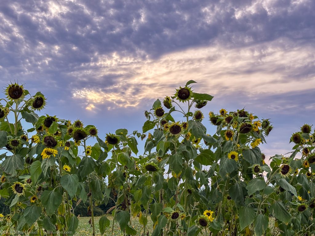
1209 74,852 61°F Whitefish Dunes State Park
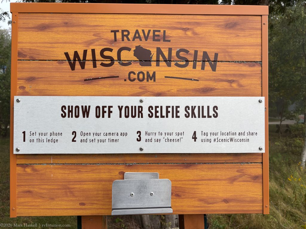
Wisconsin State Parks have installed these “Selfie Stands” where you can place a cell phone. You usually get a nice selfie with a beautiful scene in the background. Today you would just get a cloud of white fog.
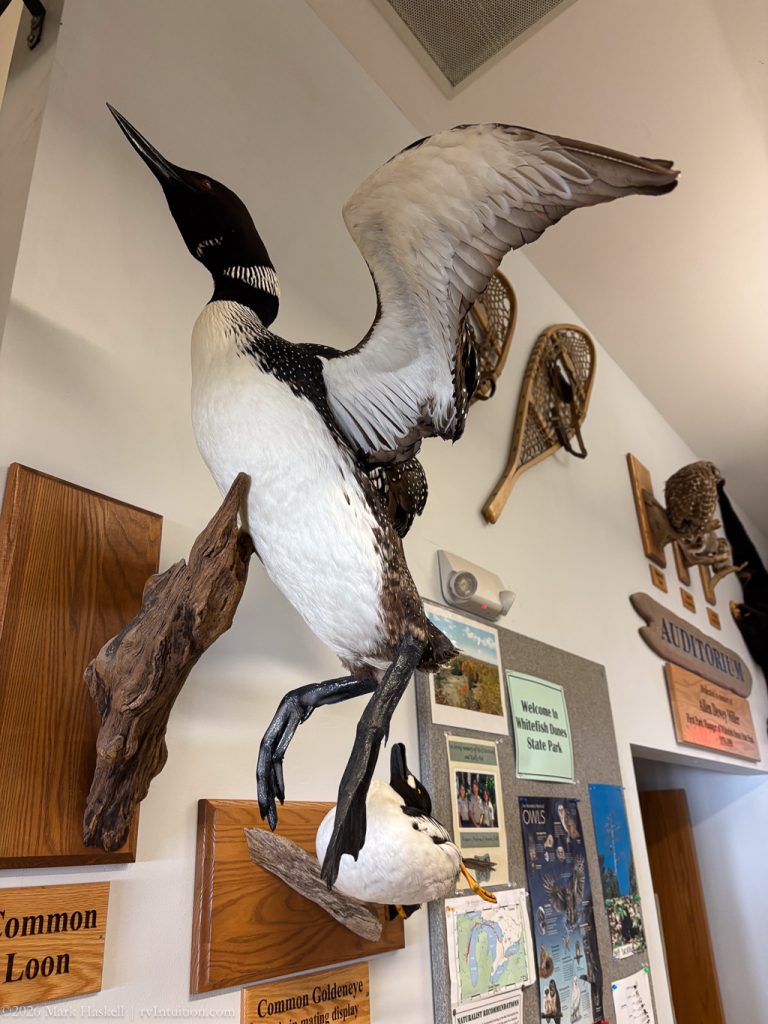
Their Nature Center has good exhibits about the local ecosystem.
A taxidermy Common Loon shows the size and power of those big feet up close.
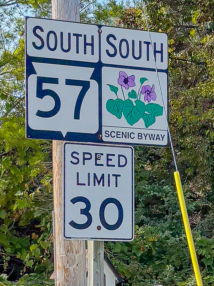
From Whitefish Dunes, we drove back inland and followed Scenic Byway 57 South. A bridge was closed for repair on the shoreline road.
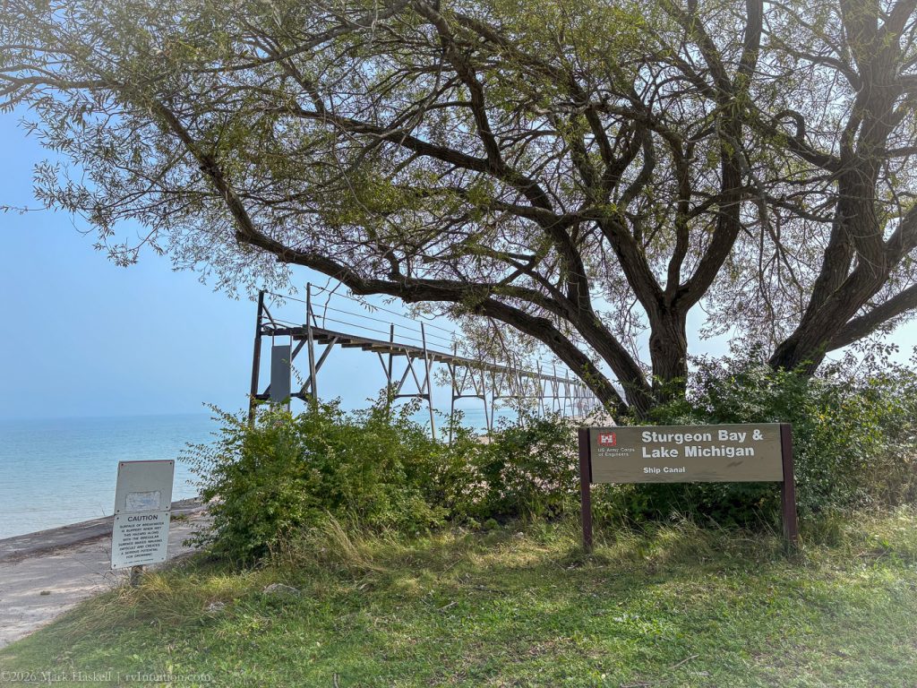
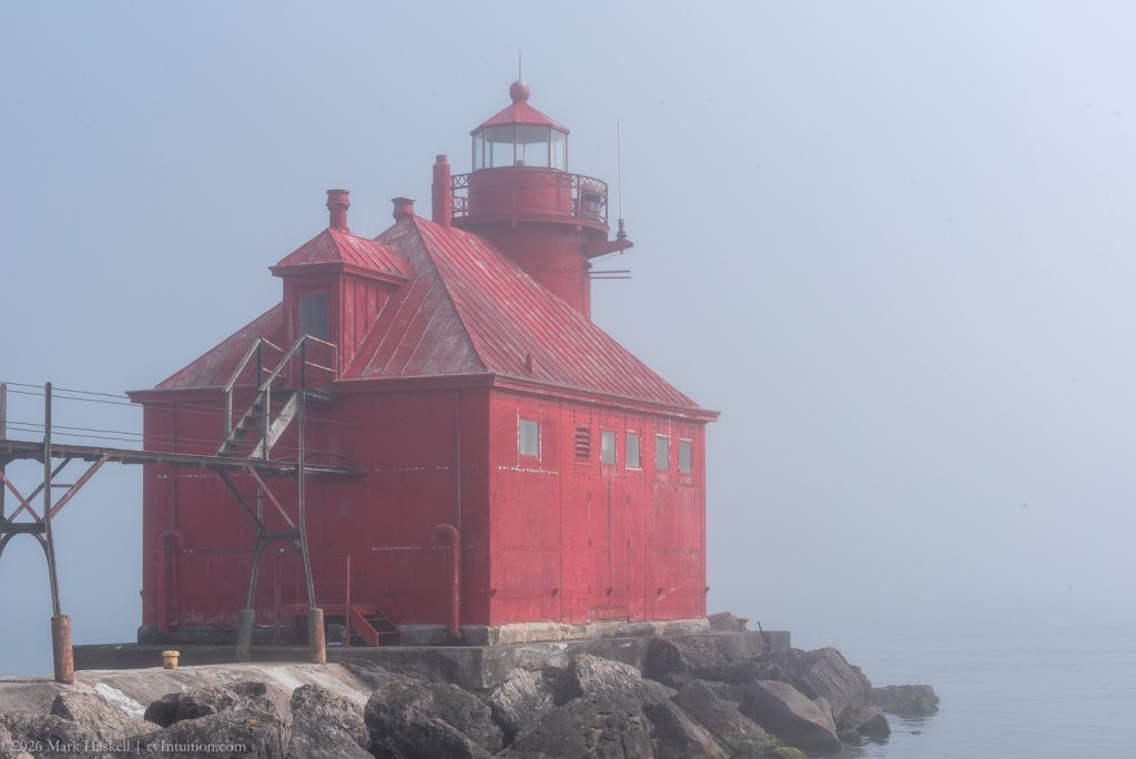
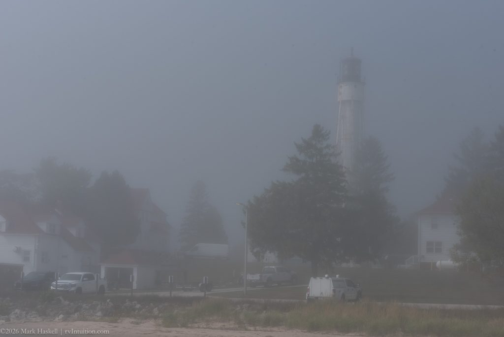
1357 74,868 79°F Sturgeon Bay Ship Canal Lighthouse
Two lights, one white and the other red, help boats find the canal entrance. Neither light is open to the public, but they are still fun to see.
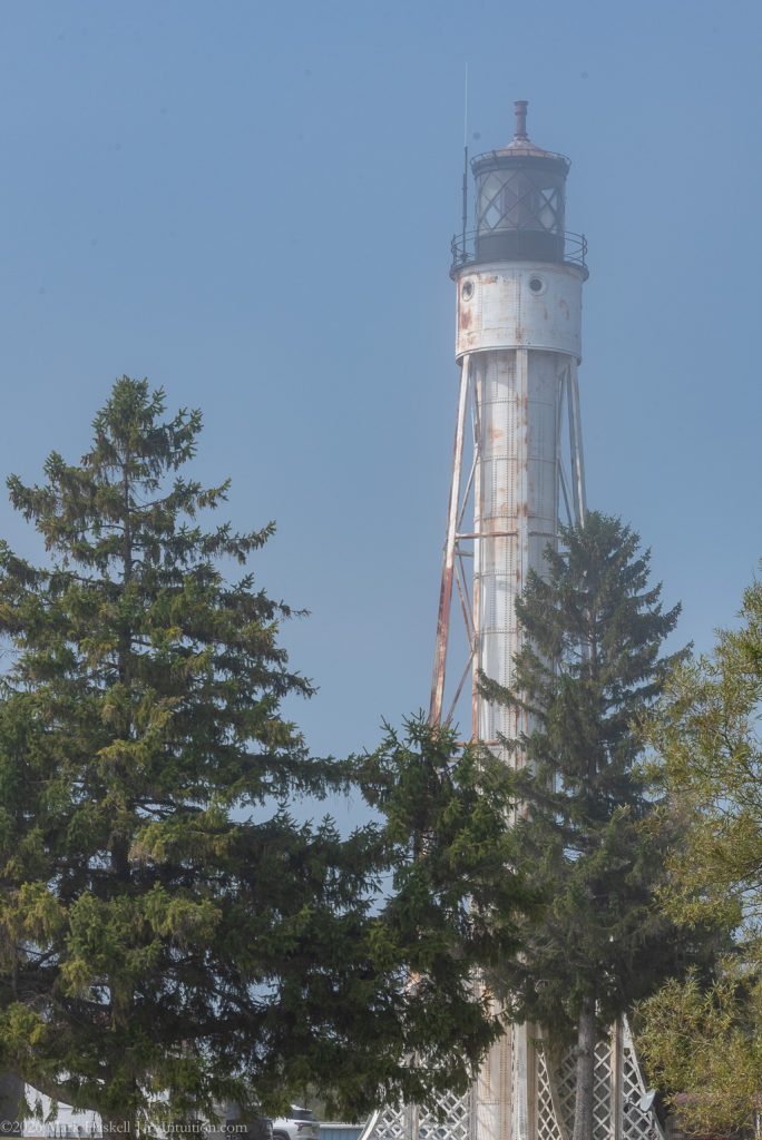
We walked as close as we could get to the 98 foot tall Canal Station Light Tower without trespassing on the Coast Guard Station grounds. Built in 1899, it was automated in 1972.
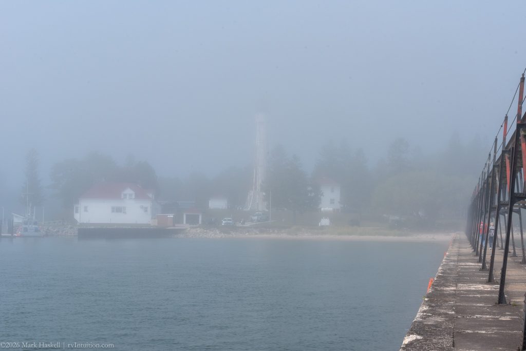
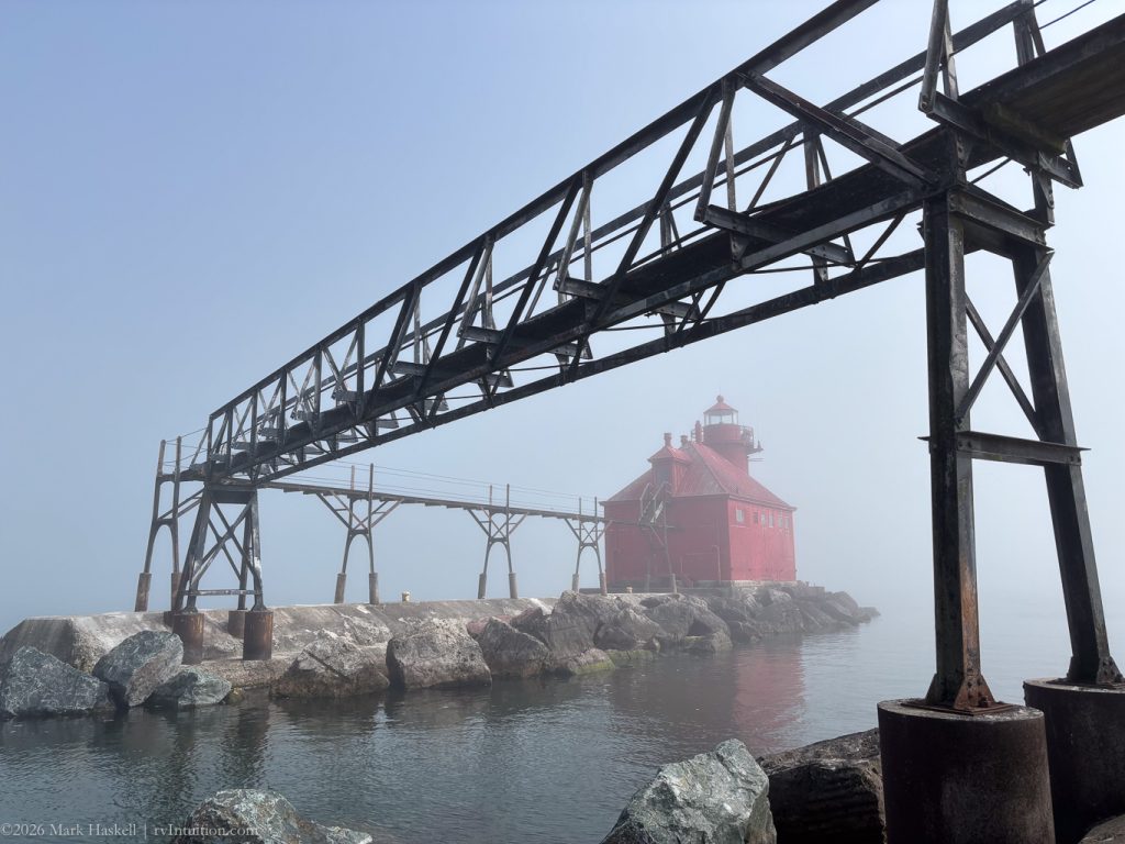
The pierhead lighthouse is out on the end of a breakwater. We had to trust that it was there as we couldn’t see much in the fog.
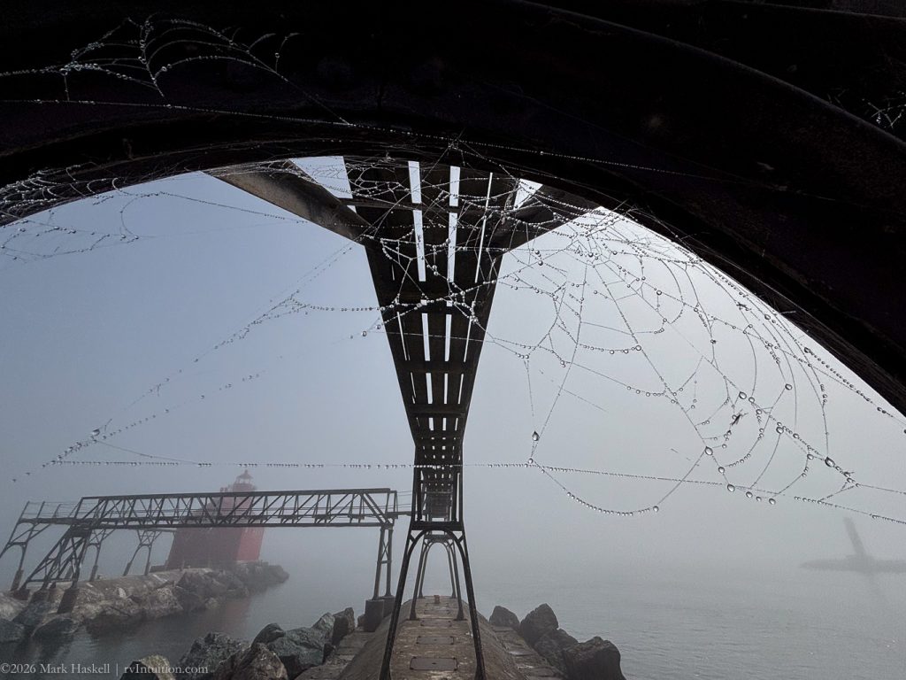
The walk follows an iron gantry carrying power and communication cables to the lighthouse. Ships pass between here and the small tower you can see on the right side of the photo.
Power crosses, but people can’t, so we observed from across the way.
The North Pierhead Light was built in 1882 and automated in 1972.
The light is red, like the building, and from a height of 39 feet, should be visible 9 nautical miles away on a clear, fogless, night.
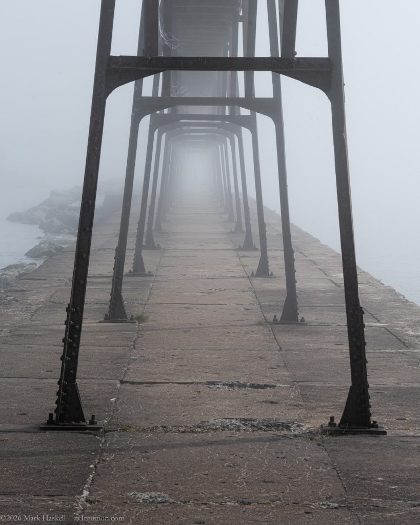
Turning around to head back, the pier looked almost infinite.
Emerging from the fog, we did find the Coast Guard station and our van.
1410 74,869 73°F Ship Canal
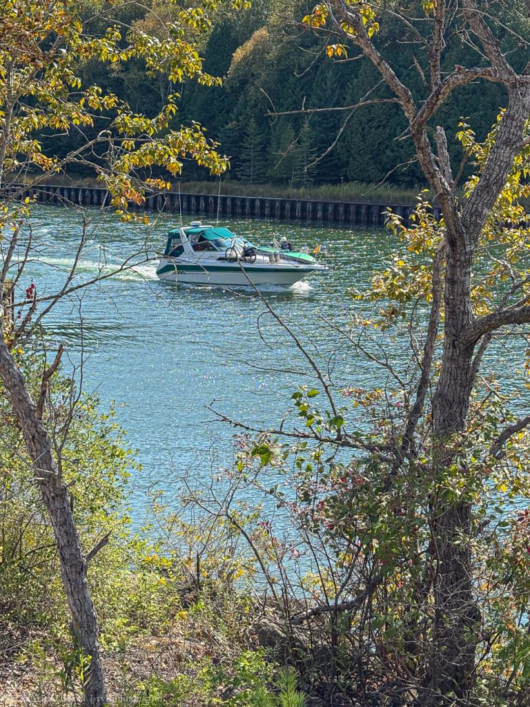
Less than a mile inland on the canal, there was no sign of fog. I wonder if this pleasure boat realizes they will be utilizing their radar in the near future.
The canal has sand dikes and appears to be very narrow
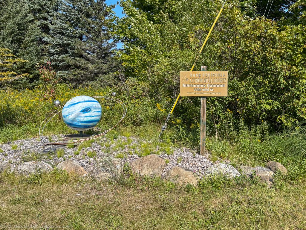
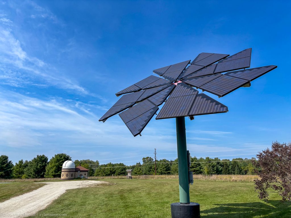
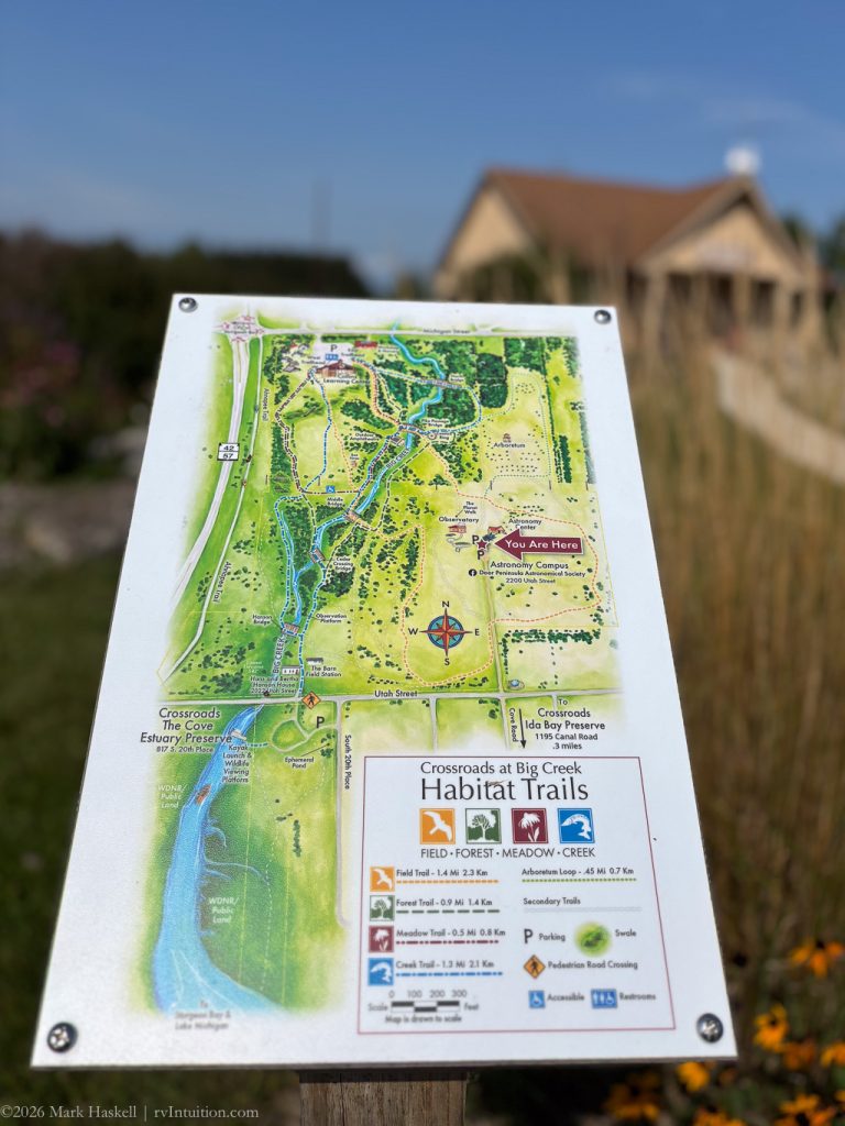
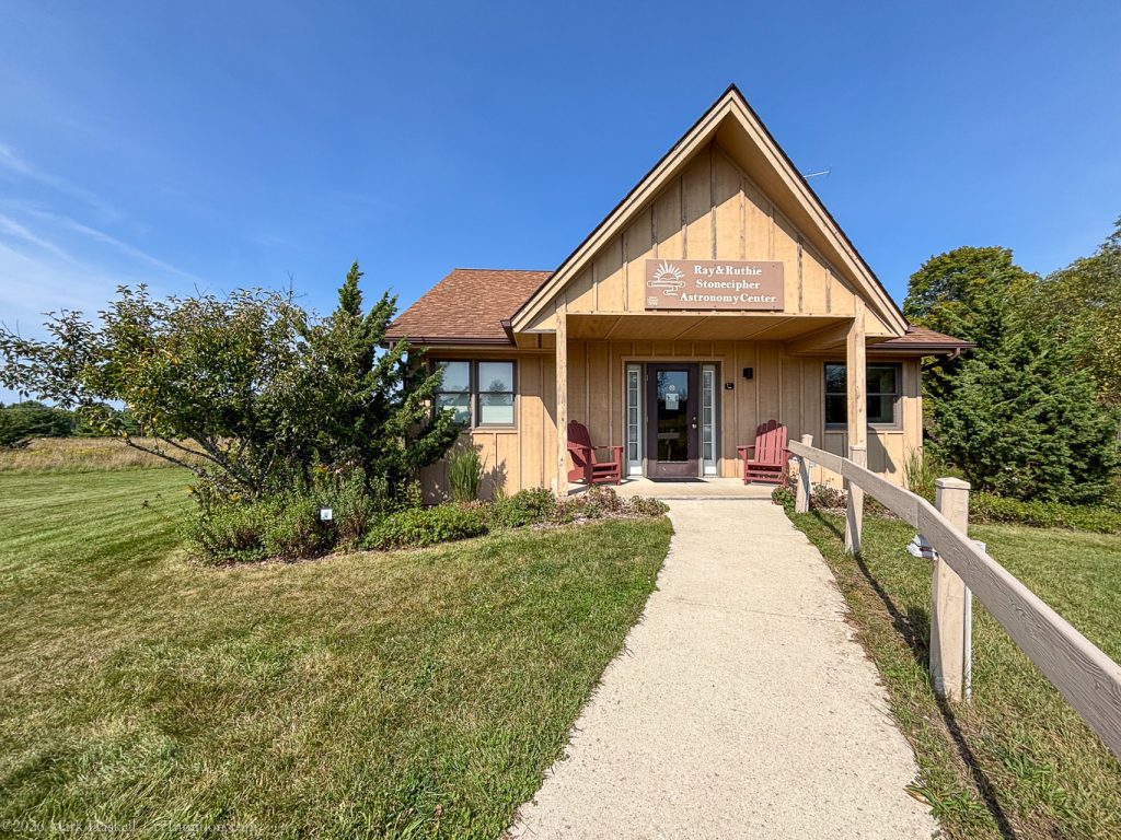
1419 74,872 69F Stonecipher Astronomy Center
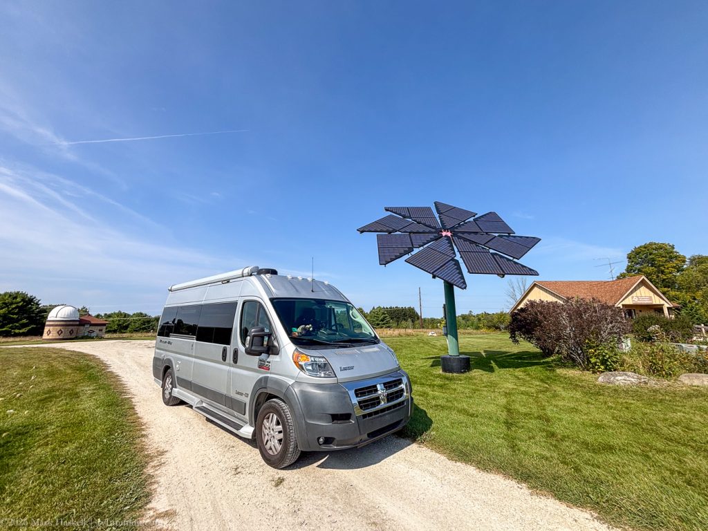
On our way back into town, we noticed a sign for the Stonecipher Astronomy Center. There are walking trails in a park next door, a cool solar array, and lots of opportunities for night sky viewing. Click through to their web side to learn when you can look through their big telescope.
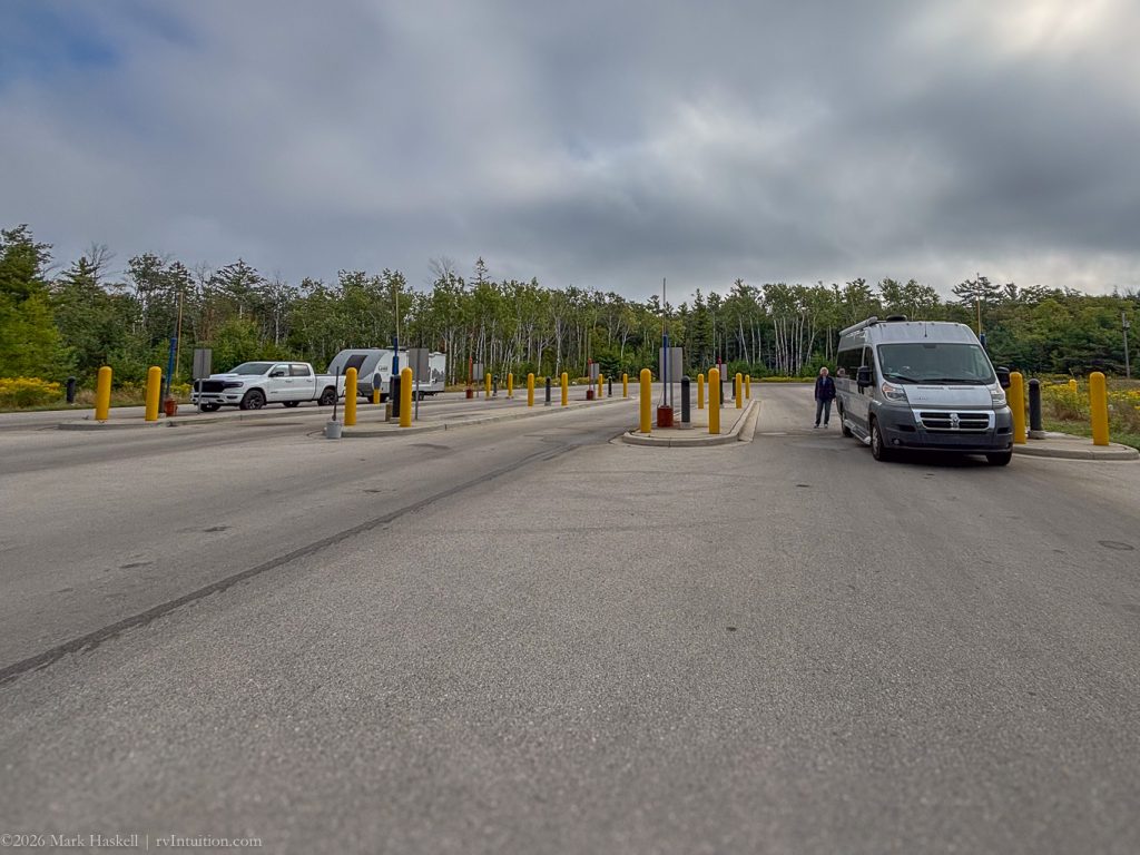
1455 74,880 71°F Potowatami State Park
After crossing to the south shore of Sturgeon Bay, we drove Northwest to visit one more state park. The friendly greeter at the entrance station welcomed us with a smile, and gave us a map.
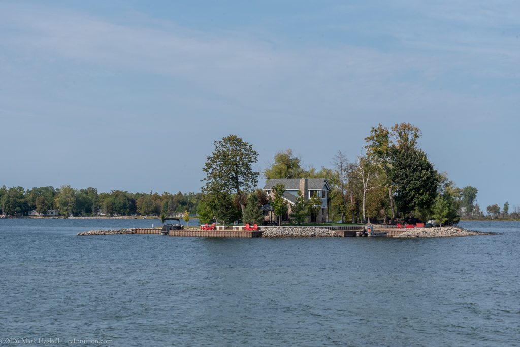
We followed Shoreline Drive as far north as we could, ending up at a boat launch. Close enough to access with a rowboat, this little Island comes with a home and two protected coves.
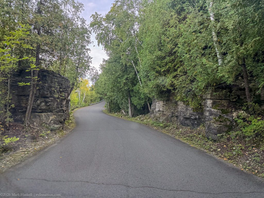
From here we backtracked to Norway Road where our trusty little van climbed the Niagara Escarpment.
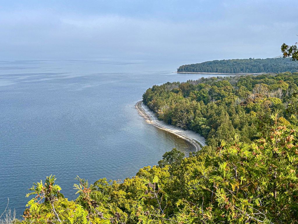
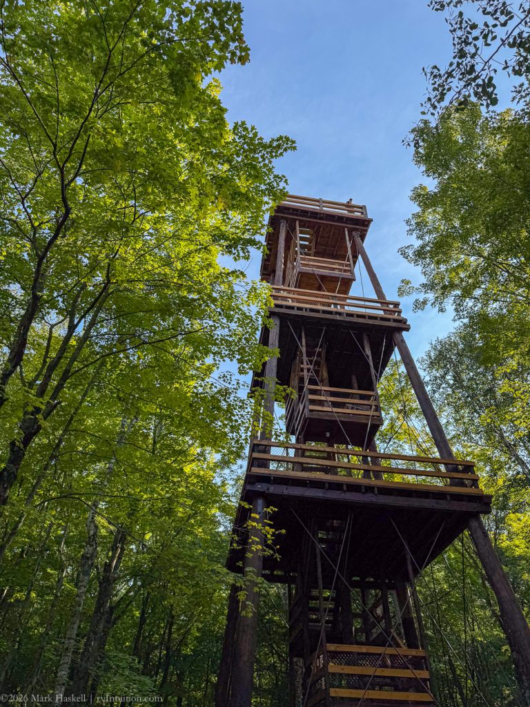
1600 74,884 71°F Observation Tower
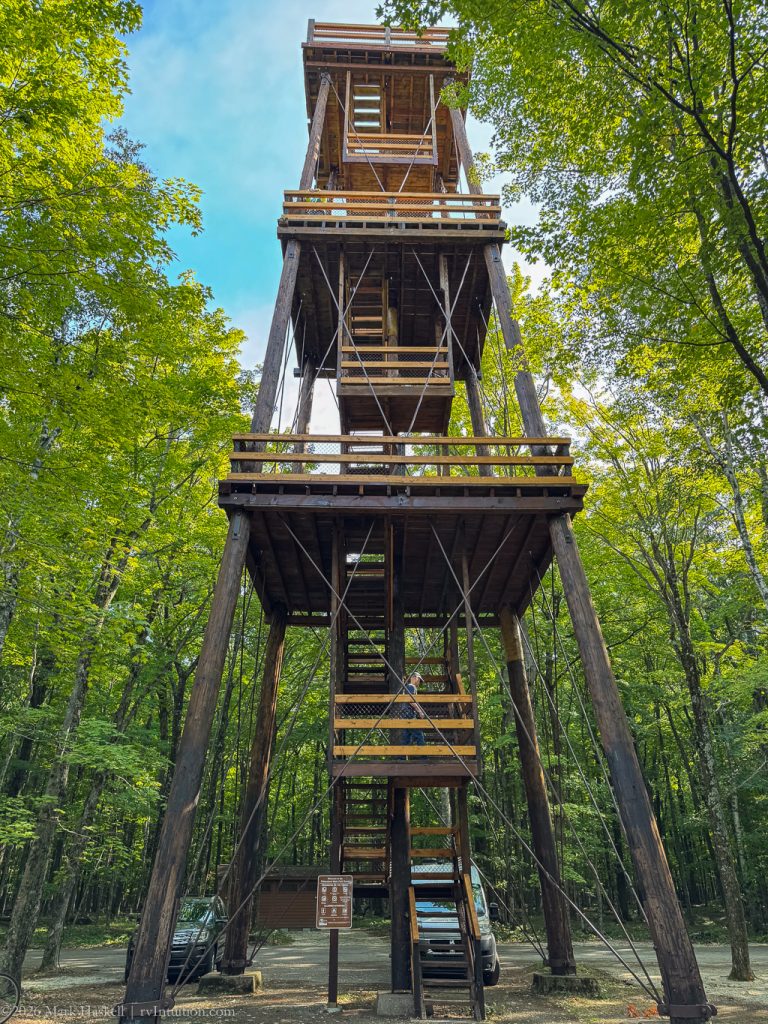
Not only was there an elevation gain , but a tower allowed for an expansive view of Sturgeon and Green Bays.
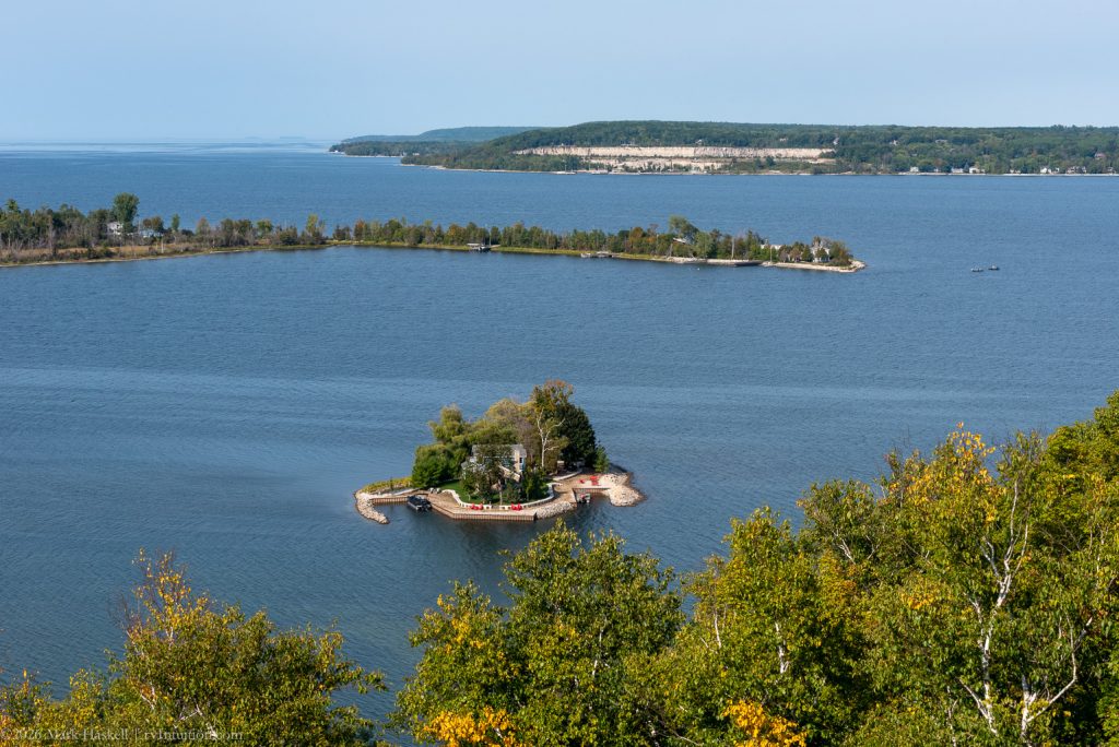
Here’s the island home from another angle.
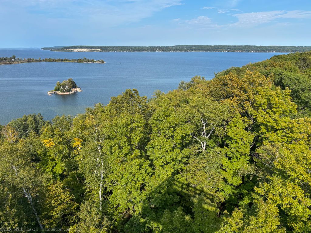
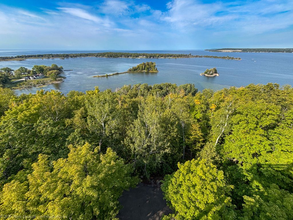
And a couple more just to show the fantastic view.
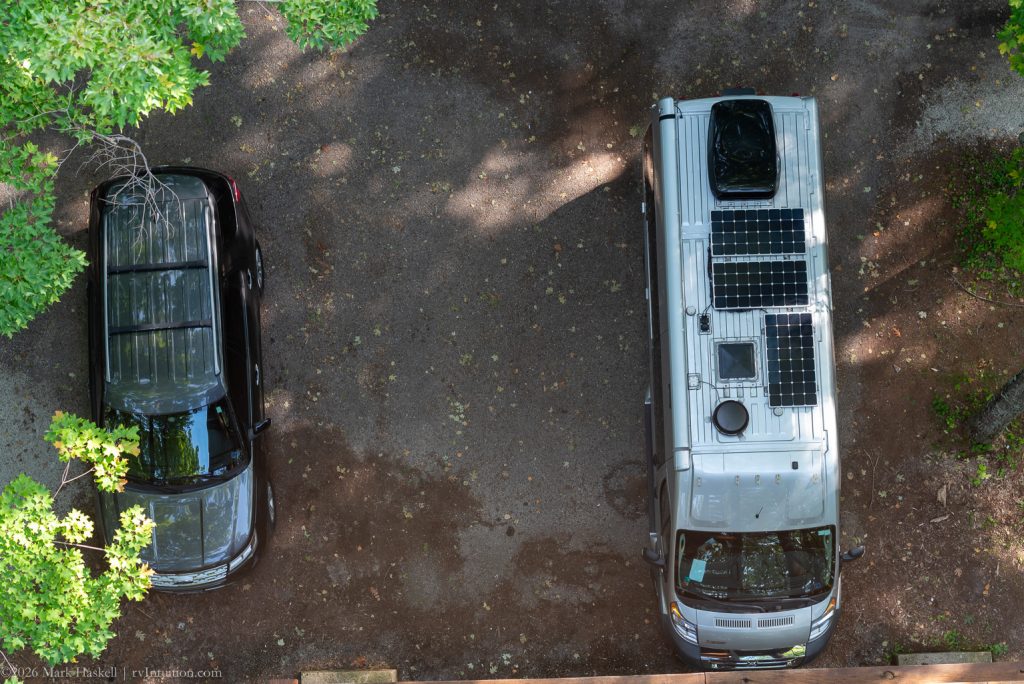
From the top of the tower our solar panels look relatively clean.
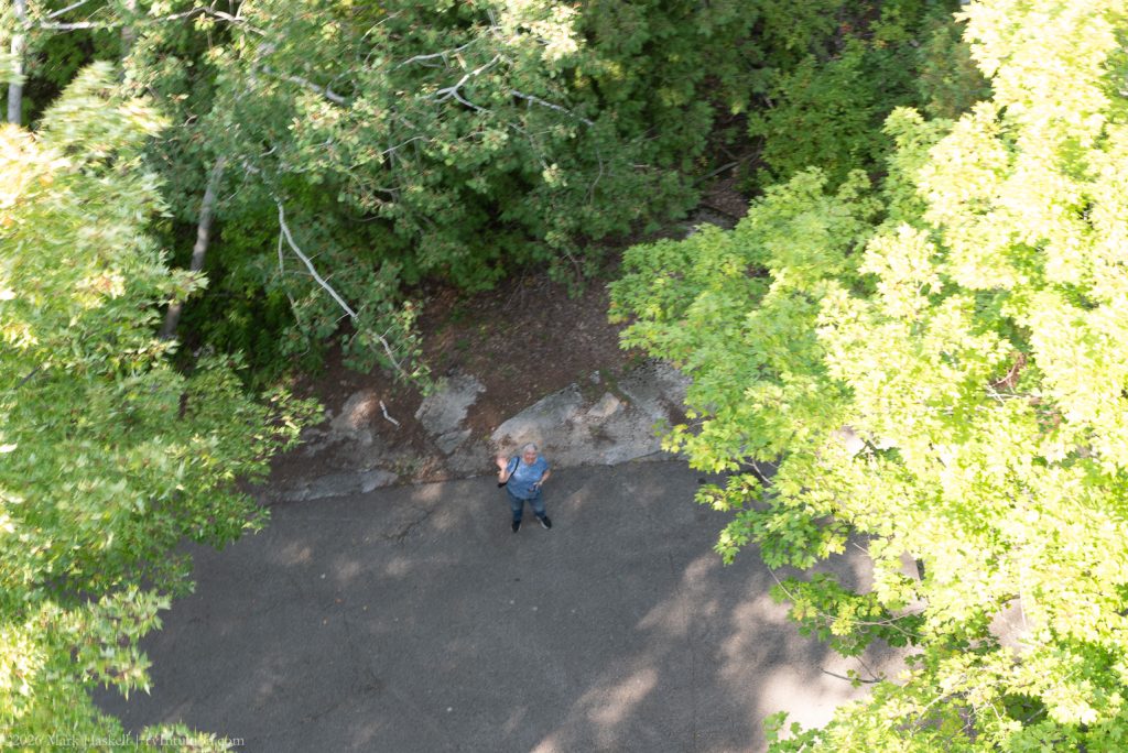
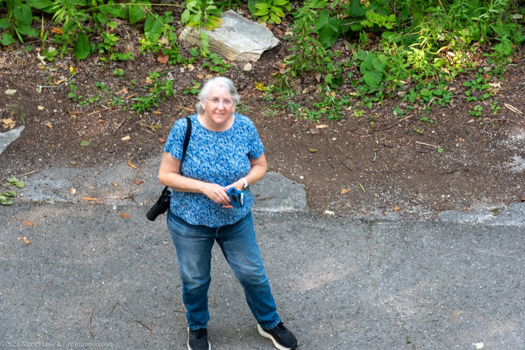
Here’s Beth from the top and me from the bottom.
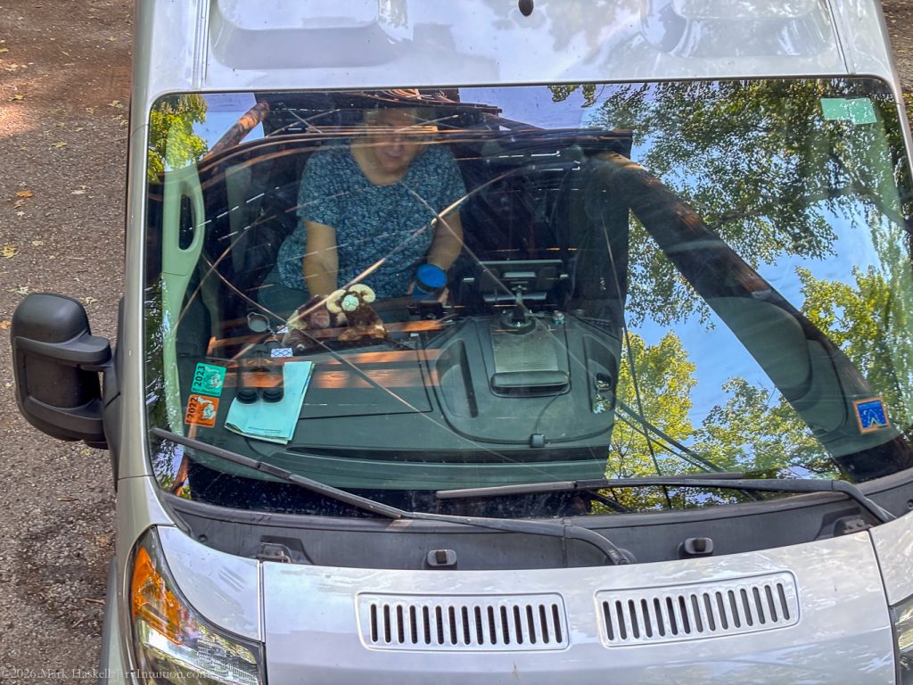
That was enough silliness. It was time to head to our overnight stop. There is camping available at this State Park, but we had other plans.
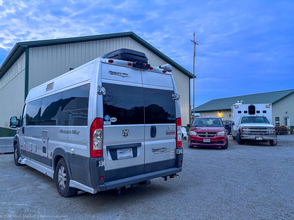
1637 74,902 73°F Plane Door County
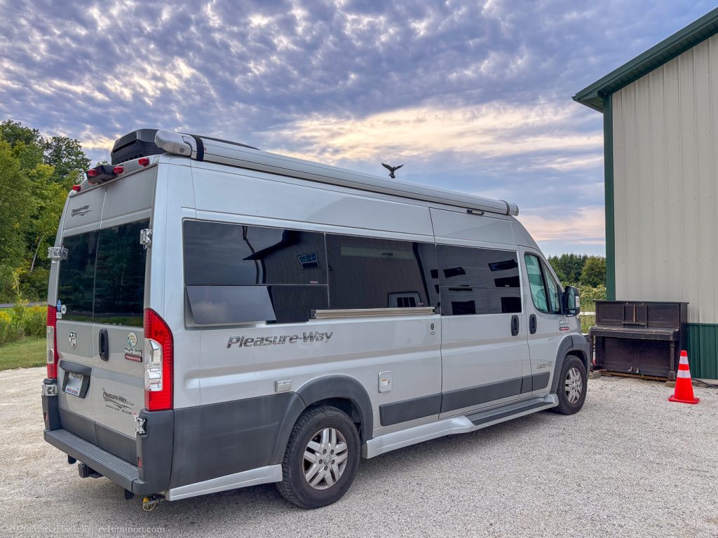
We pulled in, facing a piano, on a level gravel driveway. This is a Boondockers Welcome site, one of the nicest we’ve experienced.
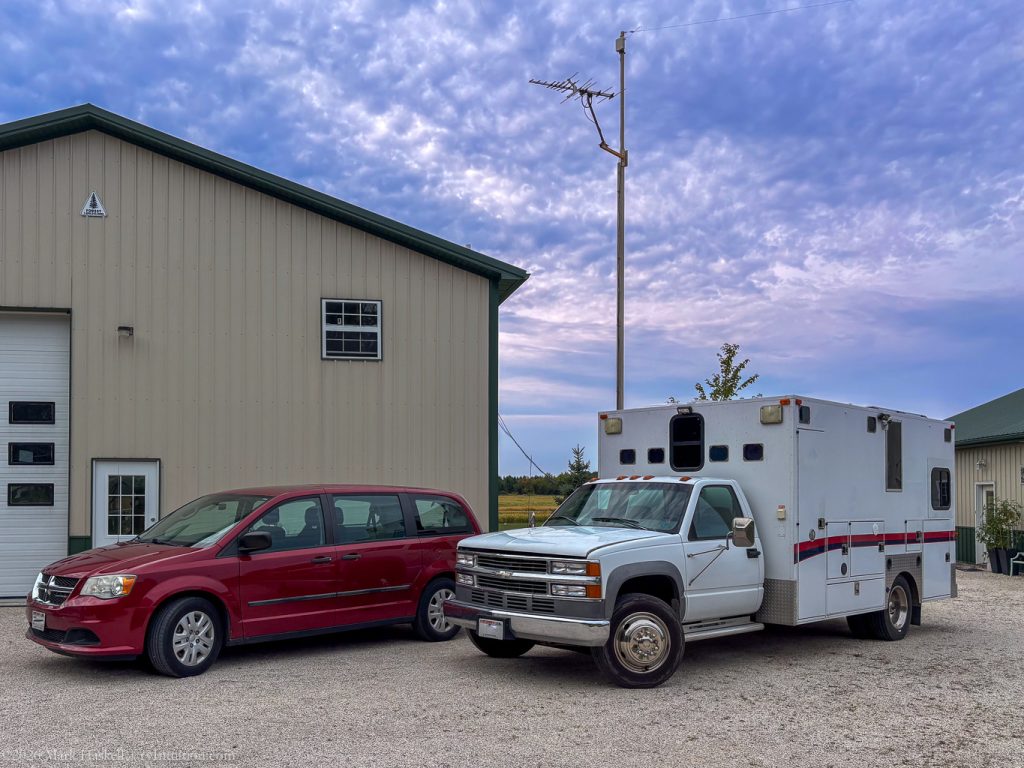
A delightful couple allows BW members to dry camp at their home. He gave us a tour of his very impressive ambulance RV conversion as his wife was still at work.
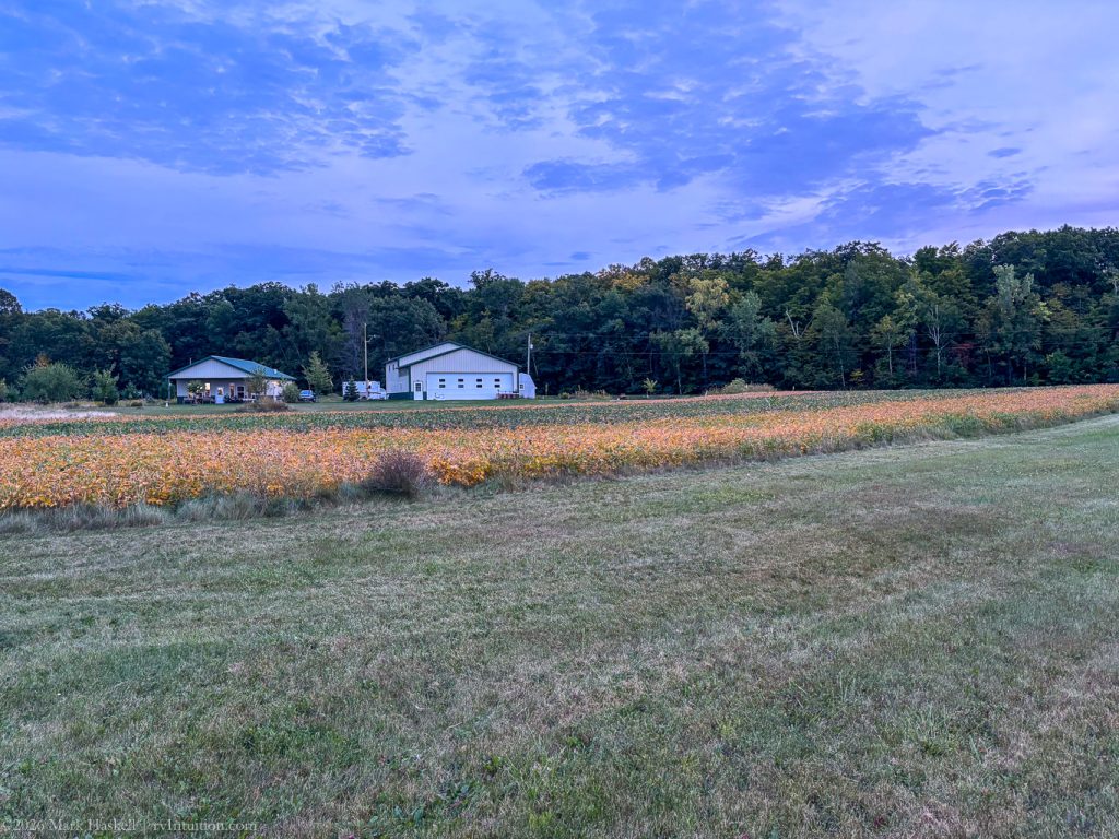
Homes here are gathered around a grass airstrip and all have airplane hangers. He builds kit airplanes and films videos of how to put them together. He also “plays” with old cars.
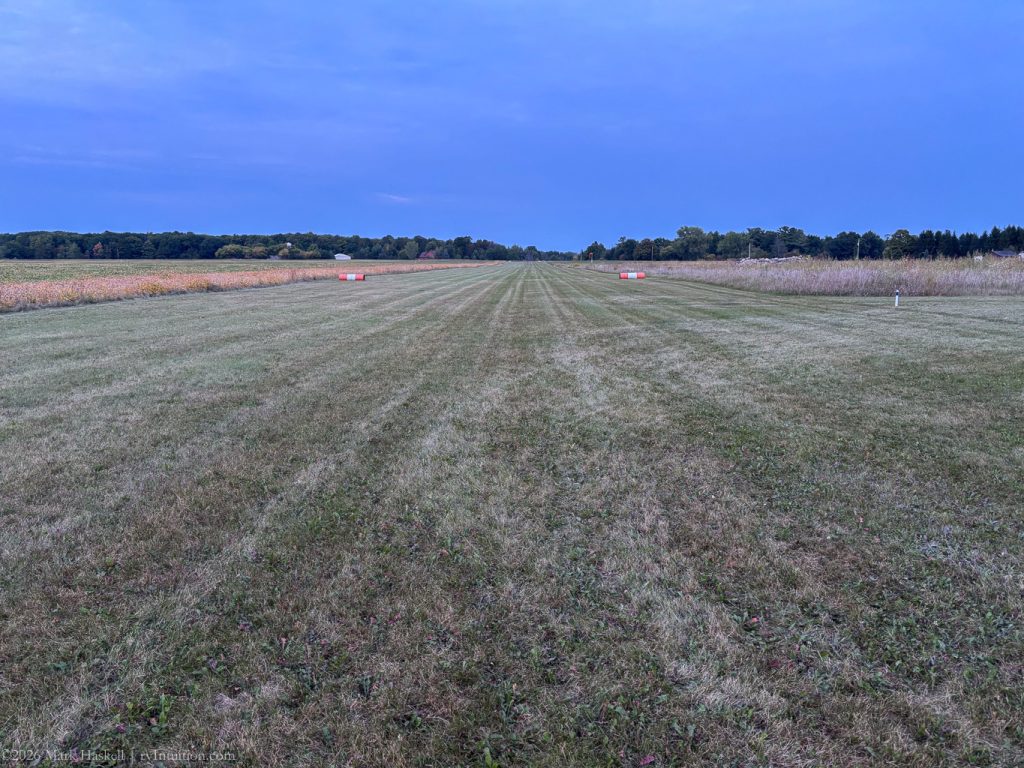
We wandered around the property to get photos as the sun went down. The runway is well maintained and clearly marked.
It turns out we had already met the other half of the couple. She was the gate keeper that welcomed us at Potowatami State Park! They are a delightful couple and we hope they come visit us in North Carolina someday.
The only sounds around this evening are those of nature. We heard the distinctive call of Sandhill Cranes. I counted a group of seven flying together before we rolled down our shades.
It was a great way to end our three day tour of Door County. It’s a beautiful area that we throughly enjoyed. We could easily see spending a week or two exploring all this area has to offer.
Click on the Previous Post button below if you want to read about the first two days of our visit.
Leave a Reply